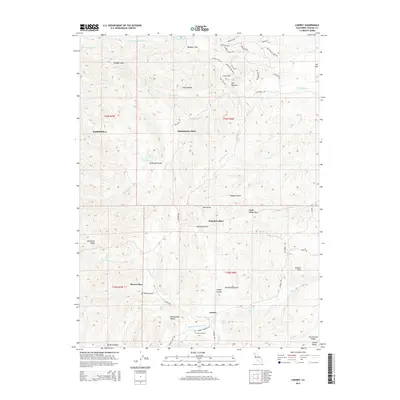
2015 Map of Lowrey
USGS Topo · Published 2015About this map
Lowrey and its surrounding ranch lands occupy this transitional landscape where the foothills meet the Sacramento Valley. The map detail reveals a scattered network of homesteads and family-named locations such as Banfield Place, Montgomery Place, and Saunders Place, illustrating the historical land use patterns of this Tehama County region. The terrain is deeply incised by the drainage systems of Red Bank Cr and Elder Cr, with topographic landmarks like The Narrows and Panther Rock rising above the flats. Local history is anchored at the Lowrey Cemetery, situated near the confluence of the Middle Fork Elder Cr and N Fork Elder Cr. These watercourses, along with named springs like Jungle Spring, define the viability of the canyon bottoms for the small settlements and gardens that dot the ridges and valleys.
Find a feature on this map
64 named features on this map. Tap any name to fly to it.
Don’t see what you’re looking for? This feature index may not catch every label — zoom into the map to look around manually.
Map Details
Editions of this 2015 Lowrey Map
This is the sole edition of this map. No revisions or reprints were ever made.
Other maps of this area

1890 · Red Bluff
USGS Topo · 1:250,000

1894 · Red Bluff
USGS Topo · 1:250,000

1944 · Flournoy
USGS Topo · 1:62,500

1949 · Colyear Springs
USGS Topo · 1:62,500

1952 · Blossom
USGS Topo · 1:24,000

1952 · Red Bank
USGS Topo · 1:24,000

1952 · Paskenta
USGS Topo · 1:62,500

1952 · Red Bank
USGS Topo · 1:62,500

1957 · Colyear Springs
USGS Topo · 1:62,500

1957 · Ukiah
USGS Topo · 1:250,000