
1952 Map of Blossom
USGS Topo · Published 1953About this map
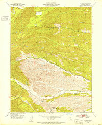
Blossom sits at a junction of rural roads and seasonal waterways in this mid-century topographic study of western Tehama County. The landscape is defined by the complex drainage systems of the South Fork Cottonwood Creek and North Fork Red Bank Creek, which carve through the terrain to create distinctive features like Burr Valley. Established routes such as Beegum Road and Reeds Creek Road link the scattered ranching and agricultural operations across the foothills. A network of survey benchmarks, including Montgomery Lookout BM 834, indicates the strategic importance of this elevated ground for fire observation and land management. The presence of multiple unnamed reservoirs suggests a landscape heavily adapted for water storage to support local needs, while names like Hooker Creek and Johnson Reeds Creek provide direct links to the region's early landowning families.
Find a feature on this map
37 named features on this map. Tap any name to fly to it.
Don’t see what you’re looking for? This feature index may not catch every label — zoom into the map to look around manually.
Map Details
Editions of this 1952 Blossom Map
5 editions found
Other maps of this area

1890 · Red Bluff
USGS Topo · 1:250,000

1894 · Red Bluff
USGS Topo · 1:250,000

1947 · Anderson
USGS Topo · 1:62,500

1948 · Anderson
USGS Topo · 1:62,500

1949 · Colyear Springs
USGS Topo · 1:62,500

1951 · West of Gerber
USGS Topo · 1:24,000

1951 · Red Bluff West
USGS Topo · 1:24,000

1952 · Red Bank
USGS Topo · 1:24,000

1952 · Ono
USGS Topo · 1:62,500

1952 · Red Bank
USGS Topo · 1:62,500