
1952 Map of Ono
USGS Topo · Published 1954About this map
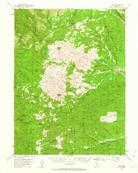
Ono and its surrounding ranchlands sit at the complex junction of the North Fork Cottonwood Creek and the Middle Fork Cottonwood Creek drainage systems. This early 1950s survey documents a landscape of high ridges and deep gulches, where the Shasta Co Tehama Co line cuts through the high elevation of Chickabally Mtn. The transport network centers on Gas Point Road, connecting small settlements like Gas Point and Ono Sta to the remote cattle and agricultural fields of the interior. Land use is evidenced by Pentacola Field and the presence of various tailings near the creek beds, hinting at the area's legacy of mineral extraction. Large flats like Wiley Flat and Crow Flat provide rare level ground in a terrain defined by named watercourses like Roaring River and Jerusalem Creek.
Find a feature on this map
63 named features on this map. Tap any name to fly to it.
Don’t see what you’re looking for? This feature index may not catch every label — zoom into the map to look around manually.
Map Details
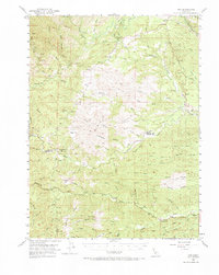
Editions of this 1952 Ono Map
3 editions found
Other maps of this area

1890 · Red Bluff
USGS Topo · 1:250,000

1894 · Red Bluff
USGS Topo · 1:250,000

1901 · Redding
USGS Topo · 1:125,000

1913 · Weaverville
USGS Topo · 1:125,000

1932 · Olinda
USGS Topo · 1:31,680

1935 · Olinda
USGS Topo · 1:31,680

1944 · Redding
USGS Topo · 1:62,500

1944 · French Gulch
USGS Topo · 1:62,500

1946 · Redding
USGS Topo · 1:62,500

1947 · Anderson
USGS Topo · 1:62,500