
1944 Map of Redding
USGS Topo · Published 1957About this map
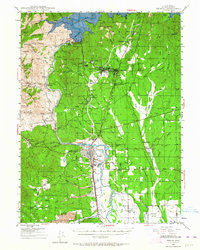
Shasta Lake and the massive Shasta Dam dominate the northern landscape of this mid-century survey, illustrating the transformative water infrastructure of the era. The Sacramento River flows south toward Redding, the regional hub where the Southern Pacific railroad meets major thoroughfares. The map details an industrial and agricultural transition, showing the network of mining sites such as the Balaklala Mine and Yankee John Mine alongside growing residential areas like Enterprise and Project City.
Find a feature on this map
98 named features on this map. Tap any name to fly to it.
Don’t see what you’re looking for? This feature index may not catch every label — zoom into the map to look around manually.
Map Details
Editions of this 1944 Redding Map
2 editions found
Other maps of this area

1890 · Red Bluff
USGS Topo · 1:250,000

1894 · Red Bluff
USGS Topo · 1:250,000

1901 · Redding
USGS Topo · 1:125,000

1913 · Weaverville
USGS Topo · 1:125,000

1932 · Olinda
USGS Topo · 1:31,680

1935 · Olinda
USGS Topo · 1:31,680

1944 · French Gulch
USGS Topo · 1:62,500

1944 · Tuscan Buttes
USGS Topo · 1:62,500

1946 · Lamoine
USGS Topo · 1:62,500

1946 · Redding
USGS Topo · 1:62,500