
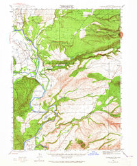
1944 Map of Tuscan Buttes
USGS Topo · Published 1960About this map
Site of Ft Reading and the nearby Ruins of Reading Adobe anchor this mid-century look at the Northern Sacramento Valley, documenting the historical remnants of early California frontier life. The Sacramento River dominates the landscape, twisting past landmarks such as Bloody Island and Goat Island while supporting vital infrastructure like Jellys Fy and the Bend Bridge. This period shows a transition from traditional ranching to industrial water management, evidenced by the Coleman Power House and the extensive network of the Anderson Ditch.
Find a feature on this map
77 named features on this map. Tap any name to fly to it.
Don’t see what you’re looking for? This feature index may not catch every label — zoom into the map to look around manually.
Map Details
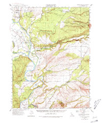
Editions of this 1944 Tuscan Buttes Map
3 editions found
Other maps of this area

1886 · Lassen Peak
USGS Topo · 1:250,000

1890 · Red Bluff
USGS Topo · 1:250,000

1892 · Lassen Peak
USGS Topo · 1:250,000

1894 · Lassen Peak
USGS Topo · 1:250,000

1894 · Red Bluff
USGS Topo · 1:250,000

1901 · Redding
USGS Topo · 1:125,000

1905 · Tehama
USGS Topo · 1:62,500

1935 · Burney
USGS Topo · 1:96,000

1935 · Paynes Creek
USGS Topo · 1:96,000

1939 · Burney
USGS Topo · 1:125,000