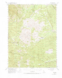
1952 Map of Ono
USGS Topo · Published 1970About this map
Ono stands as the primary settlement in this 1952 study of the rugged northern California drainage basins of the Cottonwood Creek system. The terrain is defined by a dense network of gulches and creeks, including the North Fork and the Roaring River, which carve through prominent elevations such as Chickabally Mtn and Tar Bully. Human activity is concentrated along the Gas Point Road, connecting smaller locales like Gas Point and Ogo Sta to the surrounding ranching and mining landscapes.
Find a feature on this map
63 named features on this map. Tap any name to fly to it.
Don’t see what you’re looking for? This feature index may not catch every label — zoom into the map to look around manually.
Map Details
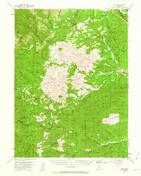
Editions of this 1952 Ono Map
3 editions found

Other maps of this area

1890 · Red Bluff
USGS Topo · 1:250,000

1894 · Red Bluff
USGS Topo · 1:250,000

1901 · Redding
USGS Topo · 1:125,000

1913 · Weaverville
USGS Topo · 1:125,000

1932 · Olinda
USGS Topo · 1:31,680

1935 · Olinda
USGS Topo · 1:31,680

1944 · Redding
USGS Topo · 1:62,500

1944 · French Gulch
USGS Topo · 1:62,500

1946 · Redding
USGS Topo · 1:62,500

1947 · Anderson
USGS Topo · 1:62,500