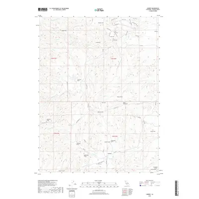
2018 Map of Lowrey
USGS Topo · Published 2018About this map
Lowrey sits within a complex terrain of ridges and gulches in Tehama County, serving as a primary point of reference in this landscape of varied watercourses. The drainage network is particularly dense here, featuring the Middle Fork Elder Cr and N Fork Elder Cr which converge near the Lowrey Cem. Local history is embedded in family-named features and landmarks like Valentine Ridge and De Haven Gulch, while the naming of Rattlesnake Valley and Hungry Hollow suggests the challenges faced by early inhabitants and cattlemen.
Find a feature on this map
104 named features on this map. Tap any name to fly to it.
Don’t see what you’re looking for? This feature index may not catch every label — zoom into the map to look around manually.
Map Details
Editions of this 2018 Lowrey Map
This is the sole edition of this map. No revisions or reprints were ever made.
Other maps of this area

1890 · Red Bluff
USGS Topo · 1:250,000

1894 · Red Bluff
USGS Topo · 1:250,000

1944 · Flournoy
USGS Topo · 1:62,500

1949 · Colyear Springs
USGS Topo · 1:62,500

1952 · Blossom
USGS Topo · 1:24,000

1952 · Red Bank
USGS Topo · 1:24,000

1952 · Paskenta
USGS Topo · 1:62,500

1952 · Red Bank
USGS Topo · 1:62,500

1957 · Colyear Springs
USGS Topo · 1:62,500

1957 · Ukiah
USGS Topo · 1:250,000