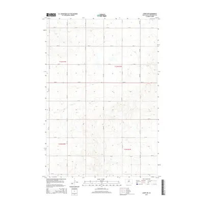
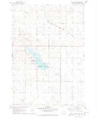
2015 Map of Lowry NW
USGS Topo · Published 2015About this map
Rieger Cr winds through this rural South Dakota landscape, providing a rare water feature in an area defined by its strict township and range grid. The terrain is surveyed into precise blocks by routes such as 134th St and 312th Ave, illustrating the high plains' agricultural layout. This 2015 update by the U.S. Geological Survey shows the persistent rural character of Walworth County, where topographic contours reveal subtle elevations and drainage patterns between the section lines of T123N and T122N. The map is a testament to the enduring structure of the Public Land Survey System in the American West.
Find a feature on this map
20 named features on this map. Tap any name to fly to it.
Don’t see what you’re looking for? This feature index may not catch every label — zoom into the map to look around manually.
Map Details
Editions of this 2015 Lowry NW Map
This is the sole edition of this map. No revisions or reprints were ever made.
Other maps of this area

1953 · McIntosh
USGS Topo · 1:250,000
1954 · Aberdeen
USGS Topo · 1:250,000
1956 · Aberdeen
USGS Topo · 1:250,000

1958 · McIntosh
USGS Topo · 1:250,000
1967 · Selby
USGS Topo · 1:24,000
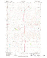
1968 · Akaska
USGS Topo · 1:24,000
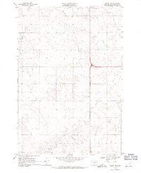
1968 · Akaska NE
USGS Topo · 1:24,000
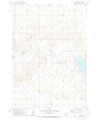
1974 · Lowry
USGS Topo · 1:24,000
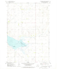
1974 · Hoven Muni. Airport
USGS Topo · 1:24,000
1974 · Spring Lake
USGS Topo · 1:24,000