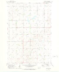
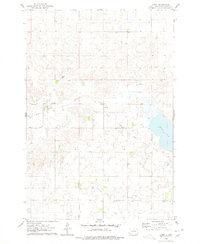
1974 Map of Lowry NW
USGS Topo · Published 1978About this map
Java and its surrounding prairie landscape are documented here during the mid-1970s. This portion of Walworth County is defined by its agricultural and educational roots, centered on the local Java Sch and the community Java Park. The map reveals a land in transition, most notably marked by the Old Railroad Grade, showing where the rail economy once connected these remote grain-growing districts to broader markets. The drainage of Rieger Creek meanders through the southern section of the quadrangle, while several Gravel Pits indicate local industry and road-building efforts during this era. This 1974 field-checked survey provides a clear view of the township and range grid system as it organized the northern Great Plains.
Find a feature on this map
12 named features on this map. Tap any name to fly to it.
Don’t see what you’re looking for? This feature index may not catch every label — zoom into the map to look around manually.
Map Details
Editions of this 1974 Lowry NW Map
This is the sole edition of this map. No revisions or reprints were ever made.
Other maps of this area

1953 · McIntosh
USGS Topo · 1:250,000

1954 · Aberdeen
USGS Topo · 1:250,000

1956 · Aberdeen
USGS Topo · 1:250,000

1958 · McIntosh
USGS Topo · 1:250,000
1967 · Selby
USGS Topo · 1:24,000
1968 · Akaska
USGS Topo · 1:24,000
1968 · Akaska NE
USGS Topo · 1:24,000
1974 · Lowry
USGS Topo · 1:24,000
1974 · Hoven Muni. Airport
USGS Topo · 1:24,000
1974 · Spring Lake
USGS Topo · 1:24,000