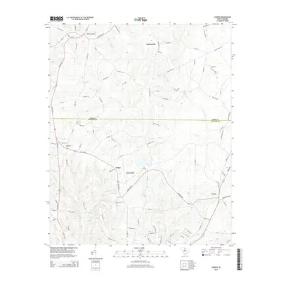
1982 Map of Lowrys
USGS Topo · Published 1983About this map
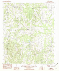
Lowrys sits at the center of this rural South Carolina landscape, where the northern border of Chester County meets York County. This 1982 survey illustrates a region defined by its small communities and numerous country churches, such as New Zion Ch, Gethsemane Ch, and Uriel Ch. The terrain is characterized by the branching drainages of the Sandy River, Rocky Creek, and the South Fork Fishing Creek, which carve through the local topography. Aviation and infrastructure are represented by the Chester Municipal Airport and the waters of Lake Oliphant. Historic routes and rail lines, including the Southern railroad, connect the smaller settlements of McConnells and Brattonsville to the surrounding agricultural land. This map provides a detailed view of the Piedmont’s rural settlement patterns, preserving the names of landmarks like Christian Home and Zion Cem for local history researchers.
Find a feature on this map
22 named features on this map. Tap any name to fly to it.
Don’t see what you’re looking for? This feature index may not catch every label — zoom into the map to look around manually.
Map Details
Editions of this 1982 Lowrys Map
This is the sole edition of this map. No revisions or reprints were ever made.
Historical Maps of McConnells Through Time
6 maps found