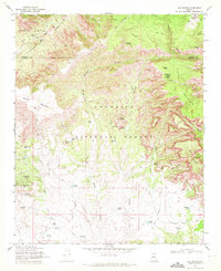
1970 Map of Loy Butte
USGS Topo · Published 1972About this map
Coconino National Forest contains a complex network of canyons and high mesas on this 1970s topographic study. The landscape is defined by the massive incisions of Sycamore Canyon and Secret Canyon, which create a naturally defensible and isolated environment. Historical human presence is marked by primitive shelters and cattle operations, including the Cliff Dwelling near Loy Butte and several remote outposts like Buck Ridge Cabin and Secret Cabin. Ranching infrastructure is pervasive, with the Hancock Ranch and Gray Ranch supported by a system of named livestock tanks such as Robbers Roost Tank and Sebra Tank. The map also documents the rugged transportation routes of the era, including the Casner Mountain Trail and the Mooney Trail, which provided essential access across the Yavapai and Coconino county lines before more modern development reached these heights.
Find a feature on this map
60 named features on this map. Tap any name to fly to it.
Don’t see what you’re looking for? This feature index may not catch every label — zoom into the map to look around manually.
Map Details
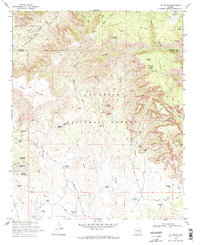
Editions of this 1970 Loy Butte Map
2 editions found
Other maps of this area

1886 · San Francisco Mtns
USGS Topo · 1:250,000

1886 · Chino
USGS Topo · 1:250,000

1887 · Verde
USGS Topo · 1:250,000

1887 · Prescott
USGS Topo · 1:250,000

1891 · San Francisco Mtns
USGS Topo · 1:250,000

1891 · Chino
USGS Topo · 1:250,000

1892 · Verde
USGS Topo · 1:250,000

1892 · Prescott
USGS Topo · 1:250,000

1894 · San Francisco Mtns
USGS Topo · 1:250,000

1899 · San Francisco Mtns
USGS Topo · 1:250,000