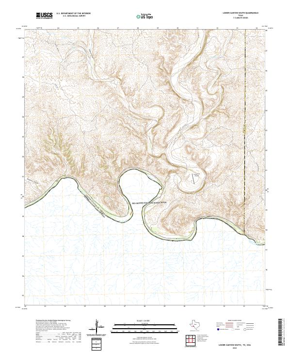
2022 Map of Lozier Canyon South
USGS Topo · Published 2022About this map
The Rio Grande Wild and Scenic River forms a complex, winding loop as it carves through the arid landscape of Terrell and Val Verde counties. This international boundary between the United States and Mexico is defined by steep, eroded terrain where significant drainages like Lozier Canyon, Palma Canyon, and Mesquite Canyon converge toward the river. High above the river bends, the Stand Fast Airport provides a rare point of modern infrastructure in an area dominated by cattle ranching roads such as Foster Ranch Rd and Cinco De Mayo Rd. The geography here illustrates the harsh, seasonal hydrology of the Chihuahuan Desert, where smaller watercourses like Pony Cr and Antonio Cr remain dry for much of the year, cutting deep limestone channels into the plateau.
Find a feature on this map
16 named features on this map. Tap any name to fly to it.
Don’t see what you’re looking for? This feature index may not catch every label — zoom into the map to look around manually.
Map Details
Editions of this 2022 Lozier Canyon South Map
This is the sole edition of this map. No revisions or reprints were ever made.
Other maps of this area

1943 · Malvado
USGS Topo · 1:62,500

1943 · Langtry
USGS Topo · 1:62,500

1944 · Malvado
USGS Topo · 1:62,500

1958 · Del Rio
USGS Topo · 1:250,000

1964 · Del Rio
USGS Topo · 1:250,000
1979 · Cook Creek North
USGS Topo · 1:24,000
1979 · Lozier Canyon North
USGS Topo · 1:24,000
1979 · Cook Creek South
USGS Topo · 1:24,000
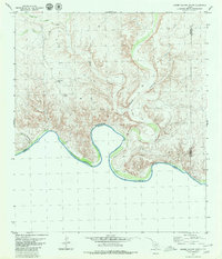
1979 · Lozier Canyon South
USGS Topo · 1:24,000
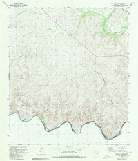
1980 · Ramsey Canyon
USGS Topo · 1:24,000