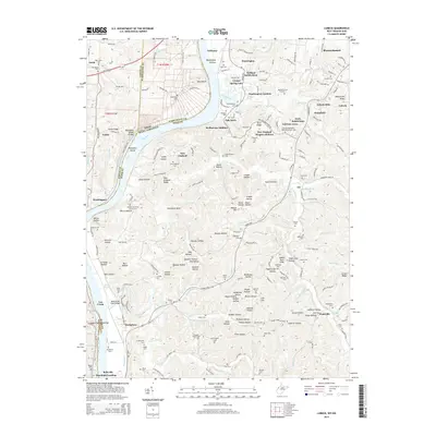
2014 Map of Lubeck
USGS Topo · Published 2014About this map
Mustapha Island and the Ohio River corridor define this 2014 survey of the Wood County riverfront, where the landscape transitions from industrial floodplains to the residential expansions of Lubeck and Washington. The map documents a dense network of local history, preserving the locations of numerous family and church burial grounds such as Boso Cem, Stephens Cem, and the Bethany Christian Church Cem. Along the river, landmarks like Washington Bottom and Randolph Landing speak to the area's long-standing connection to water-based commerce and settlement.
Find a feature on this map
212 named features on this map. Tap any name to fly to it.
Don’t see what you’re looking for? This feature index may not catch every label — zoom into the map to look around manually.
Map Details
Editions of this 2014 Lubeck Map
This is the sole edition of this map. No revisions or reprints were ever made.
Other maps of this area

1902 · Parkersburg
USGS Topo · 1:62,500

1904 · Parkersburg
USGS Topo · 1:62,500

1904 · Chesterhill
USGS Topo · 1:62,500

1906 · Belleville
USGS Topo · 1:62,500

1906 · Chesterhill
USGS Topo · 1:62,500

1907 · Keno
USGS Topo · 1:62,500

1924 · Belleville
USGS Topo · 1:62,500

1926 · Belleville
USGS Topo · 1:62,500

1949 · Clarksburg
USGS Topo · 1:250,000

1956 · Clarksburg
USGS Topo · 1:250,000