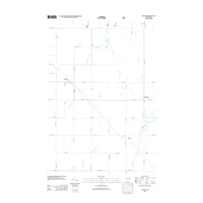
2013 Map of Lublin
USGS Topo · Published 2013About this map
The village of Lublin stands at the heart of this Northwoods landscape, where the local road network is defined by timber and agriculture. The settlement is positioned near the headwaters of the N Fork Eau Claire River, a waterway that snakes southward through Taylor County. To the east, the small community of Maplehurst sits near the confluence of McKenzie Cr and the Black River, which flows across the southeastern corner of the map. This area is characterized by a dense drainage system including Diamond Cr and Syrup Cr, punctuated by small basins like Diamond Lake and Mud Lake. The grid-like survey lines, visible in routes such as Co Line Rd and Diamond Dr, underscore the late-stage rural development of this region, providing a detailed look at the land parcels and wooded corridors in the early 21st century.
Find a feature on this map
51 named features on this map. Tap any name to fly to it.
Don’t see what you’re looking for? This feature index may not catch every label — zoom into the map to look around manually.
Map Details
Editions of this 2013 Lublin Map
This is the sole edition of this map. No revisions or reprints were ever made.
Other maps of this area

1951 · Lublin
USGS Topo · 1:48,000

1951 · Gilman
USGS Topo · 1:62,500

1952 · Stanley
USGS Topo · 1:62,500

1953 · Owen
USGS Topo · 1:48,000

1953 · Eau Claire
USGS Topo · 1:250,000

1953 · Rice Lake
USGS Topo · 1:250,000

1958 · Eau Claire
USGS Topo · 1:250,000

1959 · Rice Lake
USGS Topo · 1:250,000

1963 · Owen
USGS Topo · 1:62,500

1964 · Eau Claire
USGS Topo · 1:250,000