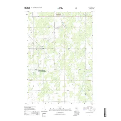
2018 Map of Lublin
USGS Topo · Published 2018About this map
The village of Lublin serves as a central hub in this western Wisconsin landscape, where several religious landmarks highlight the community's heritage. Genealogy researchers will find Holy Assumption Orthodox Cem, Saint Stanislaus Cem, and Saint Marys Cem clustered near the village, reflecting the settlement's early cultural roots. To the north, the boundary of the Chequamegon National Forest begins, while the Ice Age National Scenic Trail winds through the northern sections of the map, tracing glacial terrain near Diamond Lake and Mud Lake. The area is a significant watershed, featuring the headwaters of the Black River and the branching paths of the N Fork Eau Claire River and S Fork Eau Claire River. Farther east, Maplehurst Cem sits near the banks of the river, marking another early burial ground.
Find a feature on this map
56 named features on this map. Tap any name to fly to it.
Don’t see what you’re looking for? This feature index may not catch every label — zoom into the map to look around manually.
Map Details
Editions of this 2018 Lublin Map
This is the sole edition of this map. No revisions or reprints were ever made.
Other maps of this area

1951 · Lublin
USGS Topo · 1:48,000

1951 · Gilman
USGS Topo · 1:62,500

1952 · Stanley
USGS Topo · 1:62,500

1953 · Owen
USGS Topo · 1:48,000

1953 · Eau Claire
USGS Topo · 1:250,000

1953 · Rice Lake
USGS Topo · 1:250,000

1958 · Eau Claire
USGS Topo · 1:250,000

1959 · Rice Lake
USGS Topo · 1:250,000

1963 · Owen
USGS Topo · 1:62,500

1964 · Eau Claire
USGS Topo · 1:250,000