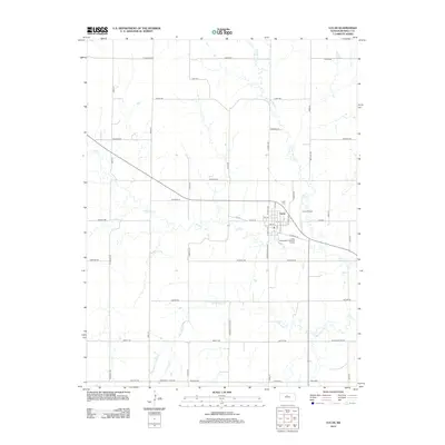
2012 Map of Lucas
USGS Topo · Published 2012About this map
Lucas serves as the central hub of this North Central Kansas landscape, where the intersection of Dorrance Lucas Rd and local thoroughfares like S Harvest St and N Wolf Ave define the small-town grid. The community is situated at a drainage divide between two significant water systems: the meandering Wolf Creek and its tributary E Fork Wolf Cr to the north, and Blue Stem Cr flowing through the southern portion of the quadrangle. This 2012 survey illustrates a quiet prairie economy supported by infrastructure such as the Lucas Airport and the Lucas Wastewater Treatment Facility. Local history and genealogy interests are anchored by the Lucas Cem located just north of the town center, while the grid of section roads, including Luray Rd and Fairport Rd, reflects the enduring agricultural organization of the Russell County countryside.
Find a feature on this map
46 named features on this map. Tap any name to fly to it.
Don’t see what you’re looking for? This feature index may not catch every label — zoom into the map to look around manually.
Map Details
Editions of this 2012 Lucas Map
This is the sole edition of this map. No revisions or reprints were ever made.
Other maps of this area

1894 · Ellsworth
USGS Topo · 1:125,000

1894 · Beloit
USGS Topo · 1:125,000

1896 · Osborne
USGS Topo · 1:125,000

1896 · Russell
USGS Topo · 1:125,000

1955 · Great Bend
USGS Topo · 1:250,000

1955 · Beloit
USGS Topo · 1:250,000

1957 · Great Bend
USGS Topo · 1:250,000

1958 · Great Bend
USGS Topo · 1:250,000

1959 · Beloit
USGS Topo · 1:250,000

1963 · Sylvan Grove
USGS Topo · 1:24,000