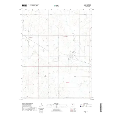
2018 Map of Lucas
USGS Topo · Published 2018About this map
Lucas serves as the central hub of this Russell County landscape, situated where Wolf Cr and its tributaries carve a network of drainages through the Kansas plains. The town is defined by a grid of local streets, including S Harvest St and W 1st St, which facilitate movement through the community's residential and commercial core. To the north of the town center lies the Lucas Cem, while the Lucas Airport occupies the eastern periphery, reflecting the town's local infrastructure and logistical connections.
Find a feature on this map
27 named features on this map. Tap any name to fly to it.
Don’t see what you’re looking for? This feature index may not catch every label — zoom into the map to look around manually.
Map Details
Editions of this 2018 Lucas Map
This is the sole edition of this map. No revisions or reprints were ever made.
Other maps of this area
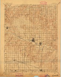
1894 · Ellsworth
USGS Topo · 1:125,000
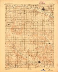
1894 · Beloit
USGS Topo · 1:125,000
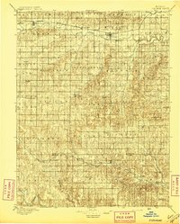
1896 · Osborne
USGS Topo · 1:125,000
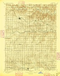
1896 · Russell
USGS Topo · 1:125,000
1955 · Great Bend
USGS Topo · 1:250,000
1955 · Beloit
USGS Topo · 1:250,000
1957 · Great Bend
USGS Topo · 1:250,000
1958 · Great Bend
USGS Topo · 1:250,000
1959 · Beloit
USGS Topo · 1:250,000
1963 · Sylvan Grove
USGS Topo · 1:24,000