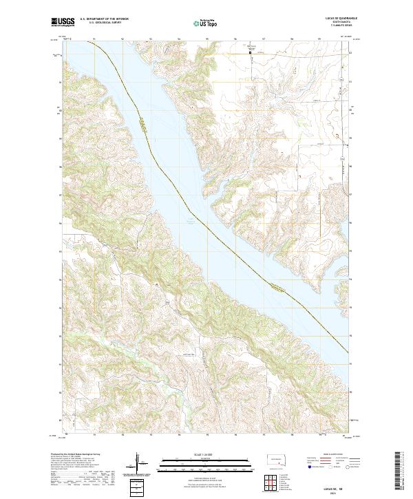
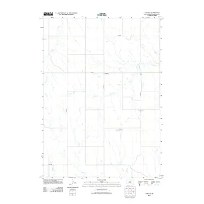
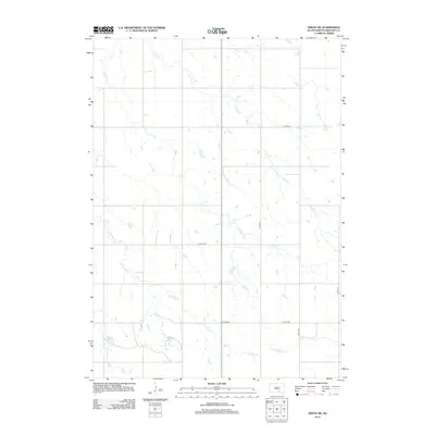
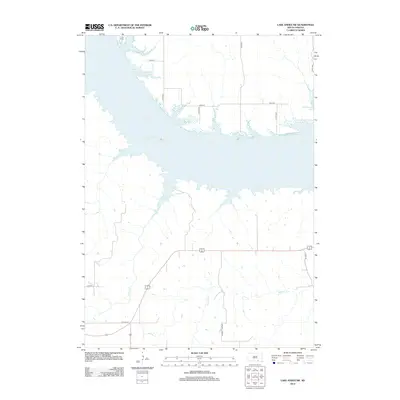
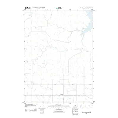
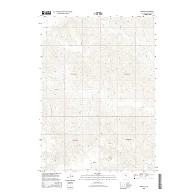
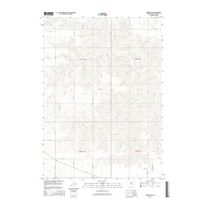
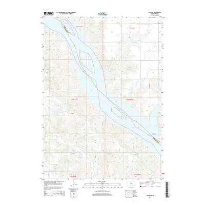
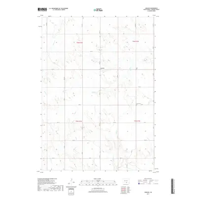
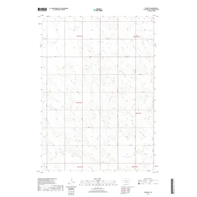
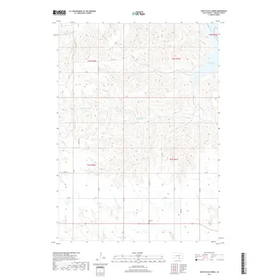
2021 Map of Lucas SE
USGS Topo · Published 2021About this map
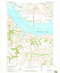
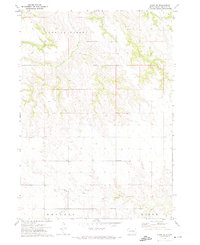
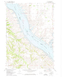
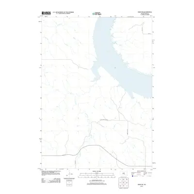
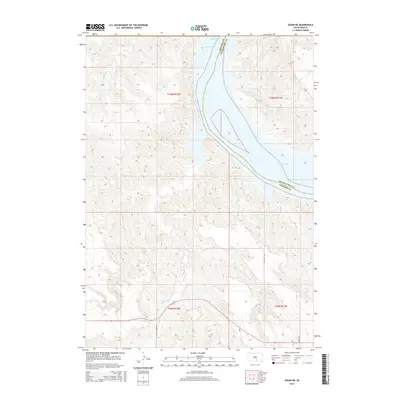
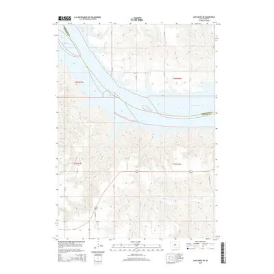
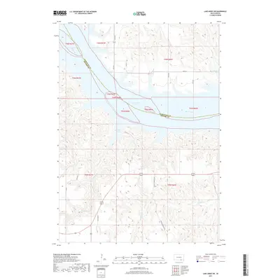
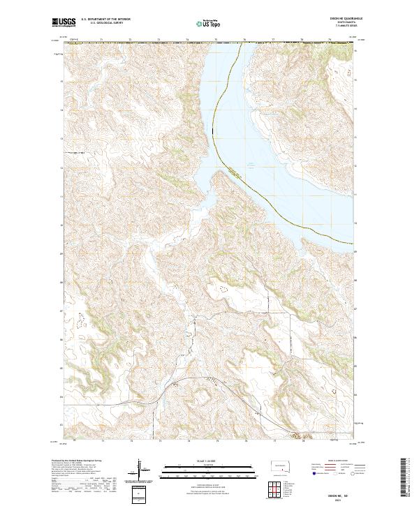
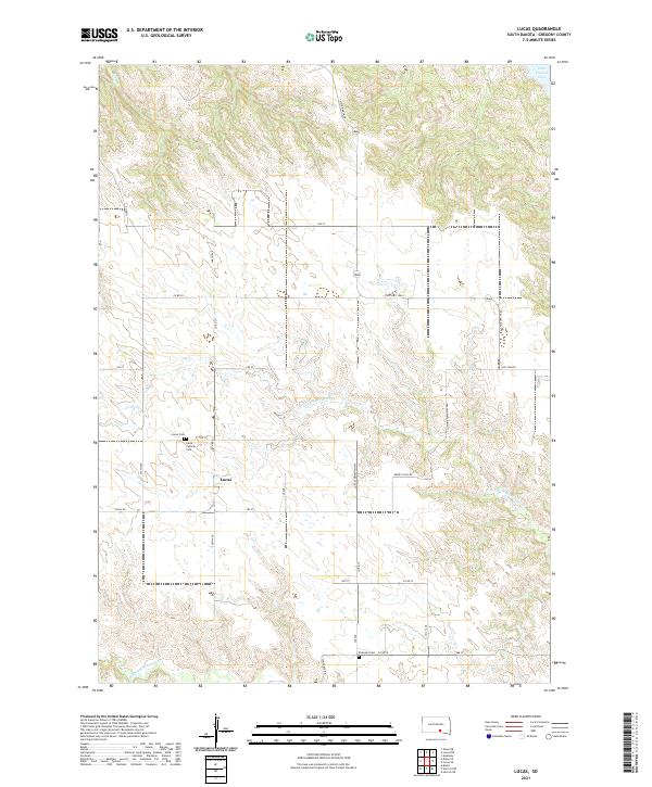
Lake Francis Case dominates this Missouri River landscape along the border of Charles Mix and Gregory counties. The reservoir's vast shoreline is defined by deep inlets where Fivemile Cr and the N Fork Whetstone Cr meet the main body of water. Along the northern upland plains, the West Trinity Lutheran Church stands as a focal point for the rural community near 357th Ave. The transport network reflects both modern access and older routes, including State Hwy 1806 and the winding path of Old 1806 Rd. Ranching heritage is evident in the naming of local thoroughfares such as Wynia Ranch Rd and 5 Mile Ranch Rd, which navigate the dissected terrain leading down to the water's edge.
Find a feature on this map
25 named features on this map. Tap any name to fly to it.
Don’t see what you’re looking for? This feature index may not catch every label — zoom into the map to look around manually.
Map Details
Editions of this 2021 Lucas SE Map
This is the sole edition of this map. No revisions or reprints were ever made.
Historical Maps of Hamilton Township Through Time
70 maps found

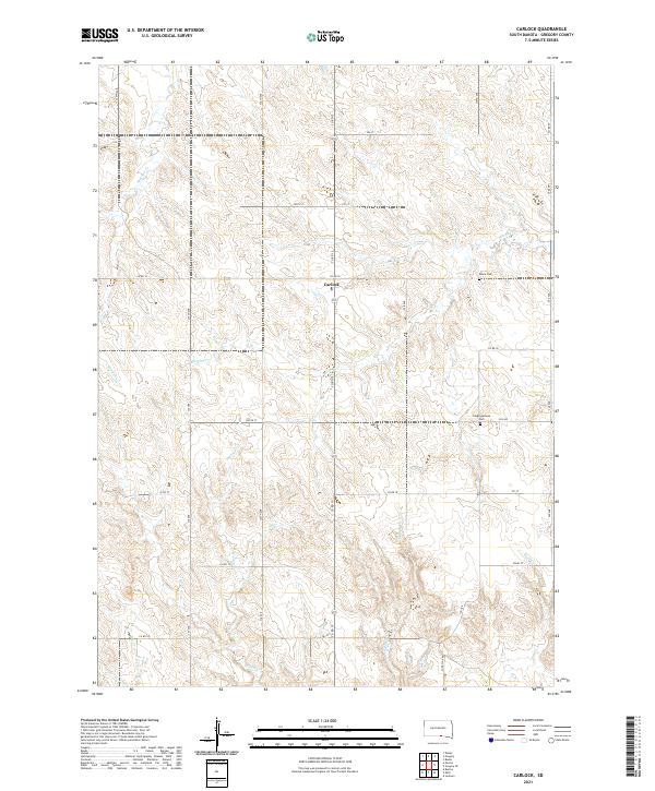
1964 Carlock
Gregory County, SD
1964 Gregory SE
Gregory County, SD
1964 Herrick NE
Gregory County, SD
1964 Herrick NW
Gregory County, SD
1964 Lake Andes SW
Gregory County, SD
1964 South Scalp Creek
Gregory County, SD
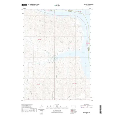
1964 Whetstone Bay
Gregory County, SD
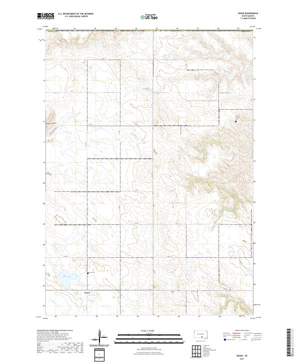
1971 Dixon
Gregory County, SD

1971 Dixon NE
Gregory County, SD
1971 Dixon SE
Gregory County, SD
1971 Dixon SW
Gregory County, SD

1971 Lucas
Gregory County, SD
1971 Lucas SE
Gregory County, SD
1977 Lake Andes SW
Gregory County, SD
2012 Carlock
Gregory County, SD
2012 Dixon
Gregory County, SD
2012 Dixon NE
Gregory County, SD
2012 Dixon SE
Gregory County, SD
2012 Dixon SW
Gregory County, SD
2012 Gregory SE
Gregory County, SD
2012 Herrick NE
Gregory County, SD
2012 Herrick NW
Gregory County, SD
2012 Lake Andes SW
Gregory County, SD
2012 Lucas
Gregory County, SD
2012 Lucas SE
Gregory County, SD
2012 Saint Charles
Gregory County, SD
2012 South Scalp Creek
Gregory County, SD
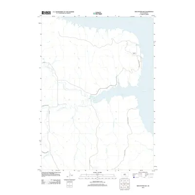
2012 Whetstone Bay
Gregory County, SD
2015 Carlock
Gregory County, SD
2015 Dixon
Gregory County, SD
2015 Dixon NE
Gregory County, SD
2015 Dixon SE
Gregory County, SD
2015 Dixon SW
Gregory County, SD
2015 Gregory SE
Gregory County, SD
2015 Herrick NE
Gregory County, SD
2015 Herrick NW
Gregory County, SD
2015 Lake Andes SW
Gregory County, SD
2015 Lucas
Gregory County, SD
2015 Lucas SE
Gregory County, SD
2015 Saint Charles
Gregory County, SD
2015 South Scalp Creek
Gregory County, SD
2015 Whetstone Bay
Gregory County, SD
2017 Carlock
Gregory County, SD
2017 Dixon
Gregory County, SD
2017 Dixon NE
Gregory County, SD
2017 Dixon SE
Gregory County, SD
2017 Dixon SW
Gregory County, SD
2017 Gregory SE
Gregory County, SD
2017 Herrick NE
Gregory County, SD
2017 Herrick NW
Gregory County, SD
2017 Lake Andes SW
Gregory County, SD
2017 Lucas
Gregory County, SD
2017 Lucas SE
Gregory County, SD
2017 Saint Charles
Gregory County, SD
2017 South Scalp Creek
Gregory County, SD
2017 Whetstone Bay
Gregory County, SD
2021 Carlock
Gregory County, SD
2021 Dixon
Gregory County, SD
2021 Dixon NE
Gregory County, SD
2021 Dixon SE
Gregory County, SD
2021 Dixon SW
Gregory County, SD
2021 Gregory SE
Gregory County, SD
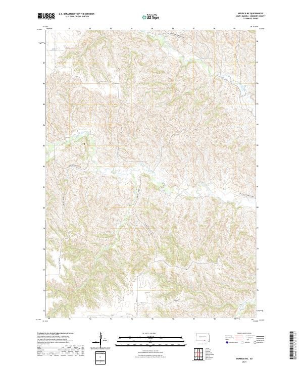
2021 Herrick NE
Gregory County, SD
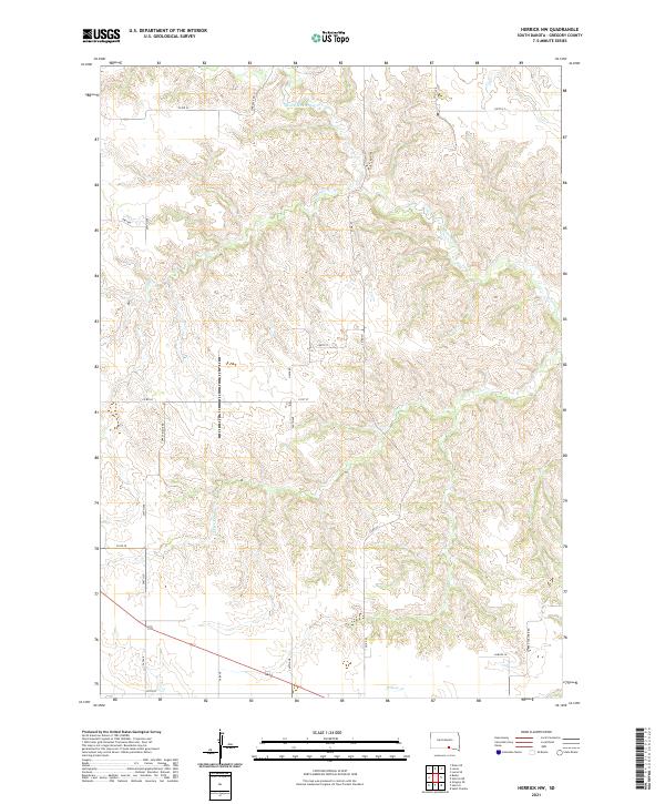
2021 Herrick NW
Gregory County, SD
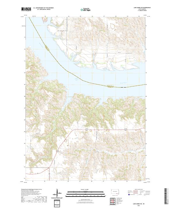
2021 Lake Andes SW
Gregory County, SD
2021 Lucas
Gregory County, SD
2021 Lucas SE
Gregory County, SD
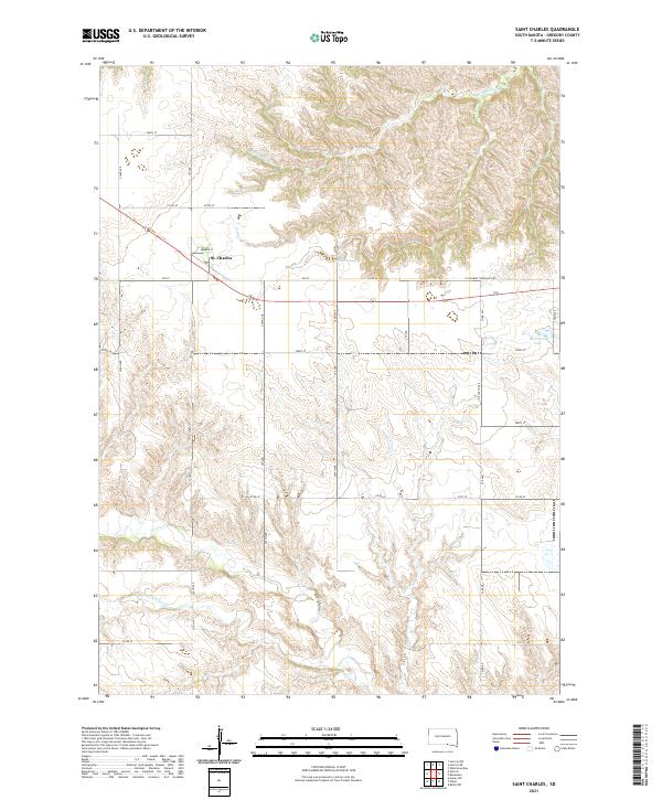
2021 Saint Charles
Gregory County, SD
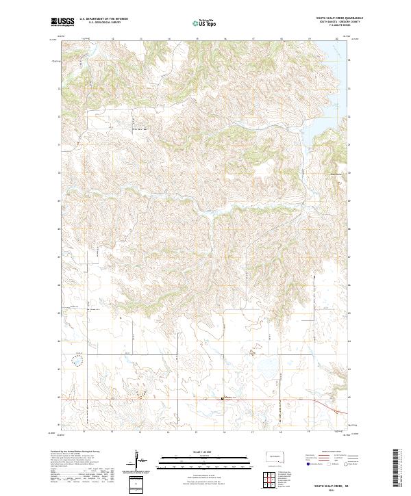
2021 South Scalp Creek
Gregory County, SD
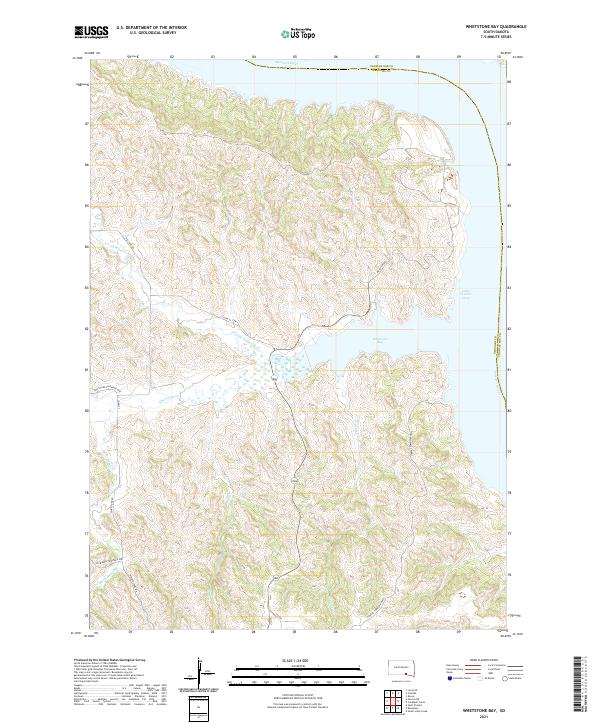
2021 Whetstone Bay
Gregory County, SD
Featured Locations
- Charles Mix County, SD
- Hamilton Township, SD
- La Roche Township, SD
- Castalia Township, SD
- Milk's Camp Segment, SD