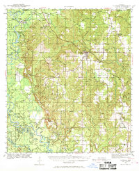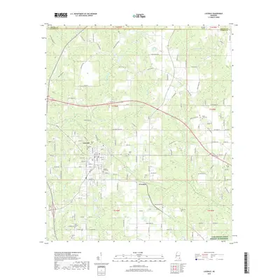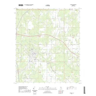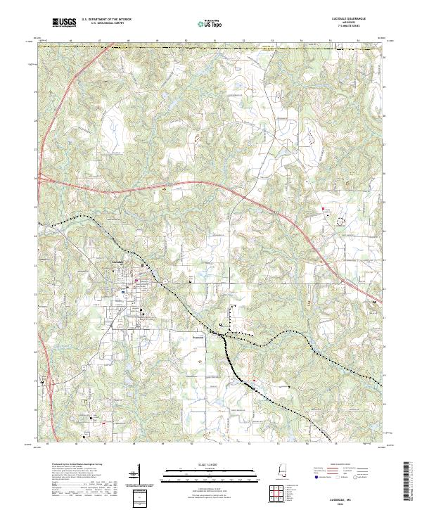
1982 Map of Lucedale
USGS Topo · Published 1982About this map
The George County seat of Lucedale serves as the focal point of this early 1980s survey, showing the town's concentration of civic and social infrastructure including the Courthouse, County Hospital, and the Lucedale Sch. The landscape is a mix of agricultural clearings and dense timber, with the University of Mississippi Forest occupying significant tracts to the north and south. Transport through the region is anchored by the Illinois Central Gulf railroad, which passes through the small community of Evanston and parallels several local watersheds. Numerous family and community landmarks, such as Magnolia Garden Cem, Taylor Cem, and the Rocky Creek Sch, are scattered along the network of creeks like Big Creek and Rocky Creek, offering a detailed view of rural settlement patterns before modern expansion reshaped the outskirts of these communities.
Find a feature on this map
43 named features on this map. Tap any name to fly to it.
Don’t see what you’re looking for? This feature index may not catch every label — zoom into the map to look around manually.
Map Details
Editions of this 1982 Lucedale Map
This is the sole edition of this map. No revisions or reprints were ever made.
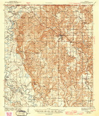
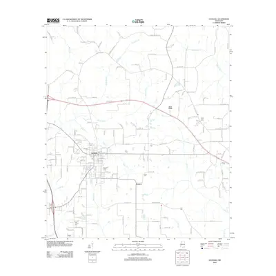
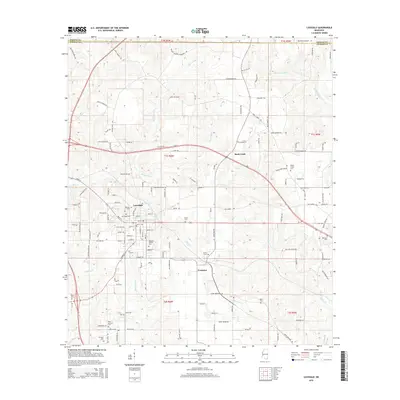
Historical Maps of Lucedale Through Time
8 maps found