
2018 Map of Lucerne Valley
USGS Topo · Published 2018About this map
Lucerne Valley serves as the focal point of this San Bernardino County survey, situated where the high desert terrain meets the northern reaches of the Granite Mountains. The landscape is defined by its transition from the alluvial floor to prominent landforms like Strawberry Peak and the distinctive Pickaninny Buttes. Water sources, critical for the development of this arid region, are marked at Rabbit Springs and Box S Springs, indicating the historic lifelines that supported early ranching and travel through the Mojave. The grid of modern roads, including Gobar Rd and Sun swept Rd, overlays a landscape carved by the depths of Deep Canyon and the path of Silver Creek. This map captures the settlement pattern of the valley as it maintains its rural character amidst the rugged geography of the San Bernardino foothills.
Find a feature on this map
139 named features on this map. Tap any name to fly to it.
Don’t see what you’re looking for? This feature index may not catch every label — zoom into the map to look around manually.
Map Details
Editions of this 2018 Lucerne Valley Map
This is the sole edition of this map. No revisions or reprints were ever made.
Other maps of this area

1901 · Southern California Sheet No. 1
USGS Topo · 1:250,000
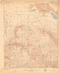
1902 · Deep Creek
USGS Topo · 1:62,500
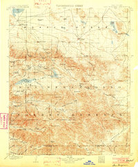
1902 · San Gorgonio
USGS Topo · 1:125,000

1904 · Southern California Sheet No. 1
USGS Topo · 1:250,000
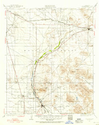
1932 · Barstow
USGS Topo · 1:125,000
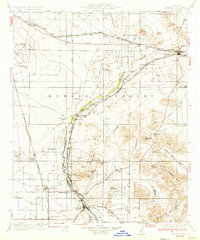
1934 · Barstow
USGS Topo · 1:125,000
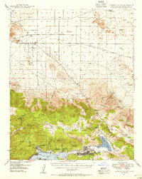
1947 · Lucerne Valley
USGS Topo · 1:62,500
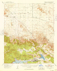
1949 · Lucerne Valley
USGS Topo · 1:62,500
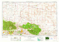
1953 · San Bernardino
USGS Topo · 1:250,000
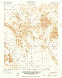
1955 · Ord Mountains
USGS Topo · 1:62,500