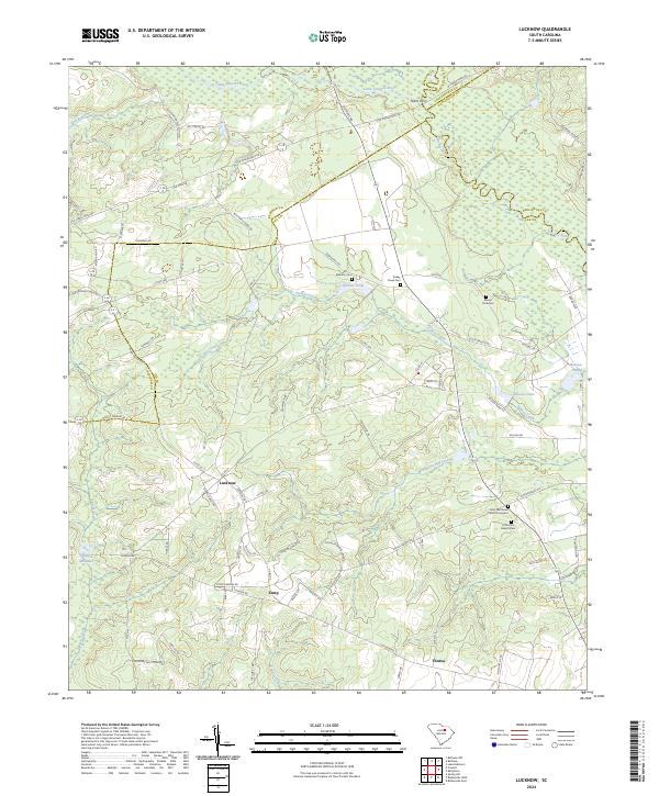
2024 Map of Lucknow
USGS Topo · Published 2024About this map
Lucknow and the rural crossings of the Little Lynches River define this corner of the South Carolina Midlands, where the boundaries of Kershaw, Lee, Darlington, and Chesterfield counties converge. The landscape is a network of small agricultural settlements and family-named roads, anchored by historical landmarks like Tillers Ferry and the quiet waters of Clyburns Pond. For genealogists, the map is particularly rich in cemetery data, documenting sites such as Bethany Cem and the Saint Matthews Church Graveyard alongside smaller hamlets like Zemp and Thursa. The hydrologic pattern of Turkey Creek and Merchants Mill Creek indicates a long-standing reliance on local milling and water resources, evidenced by landmarks like Halls Millpond and Singletary Mill Pond.
Find a feature on this map
78 named features on this map. Tap any name to fly to it.
Don’t see what you’re looking for? This feature index may not catch every label — zoom into the map to look around manually.
Map Details
Editions of this 2024 Lucknow Map
This is the sole edition of this map. No revisions or reprints were ever made.
Other maps of this area

1941 · Spartanburg
USGS Topo · 1:250,000

1953 · Spartanburg
USGS Topo · 1:250,000

1957 · Ashwood
USGS Topo · 1:62,500

1960 · Spartanburg
USGS Topo · 1:250,000

1963 · Spartanburg
USGS Topo · 1:250,000

1964 · Spartanburg
USGS Topo · 1:250,000
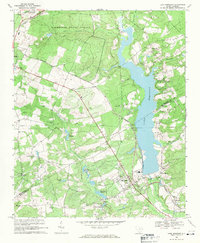
1968 · Lake Robinson
USGS Topo · 1:24,000

1968 · Kellytown
USGS Topo · 1:24,000
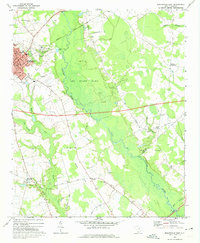
1969 · Bishopville East
USGS Topo · 1:24,000
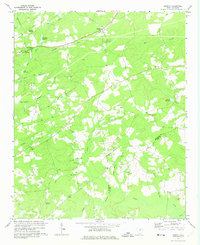
1970 · Cassatt
USGS Topo · 1:24,000