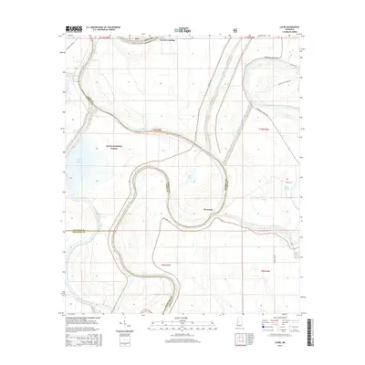
2015 Map of Lucre
USGS Topo · Published 2015About this map
The Big Sunflower River and Yazoo River dominate this Delta landscape, winding through a complex system of levees and drainage works that define modern land use in this part of Mississippi. The Delta National Forest occupies a significant portion of the terrain, representing one of the few remaining large tracts of bottomland hardwood forest in the region. Small settlements and points of interest such as Harworth, Fairview Landing, and Lucre sit along the waterways and rural roads, while the presence of the Will M. Whittington Auxiliary Channel and the Lake George Drainage Ditch illustrates the extensive flood control and agricultural engineering required to manage this low-lying environment. Landforms like Six Mile Cut Off and South Greentree Reservoir further demonstrate the human modification of the natural hydrology to support both conservation and local industry.
Find a feature on this map
36 named features on this map. Tap any name to fly to it.
Don’t see what you’re looking for? This feature index may not catch every label — zoom into the map to look around manually.
Map Details
Editions of this 2015 Lucre Map
This is the sole edition of this map. No revisions or reprints were ever made.
Other maps of this area

1939 · Onward
USGS Topo · 1:62,500

1939 · Lorenzen
USGS Topo · 1:62,500

1940 · Mechanicsburg
USGS Topo · 1:62,500

1955 · Jackson
USGS Topo · 1:250,000

1961 · Jackson
USGS Topo · 1:250,000

1961 · Bayland
USGS Topo · 1:62,500

1962 · Jackson
USGS Topo · 1:250,000

1963 · Mechanicsburg
USGS Topo · 1:62,500

1963 · Onward
USGS Topo · 1:62,500

1964 · Lorenzen
USGS Topo · 1:62,500