Loading...
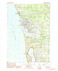
Loading map...1983 Map of Ludington
USGS Topo · Published 1983About this map
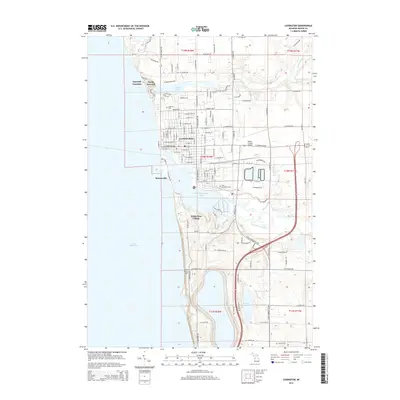
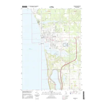
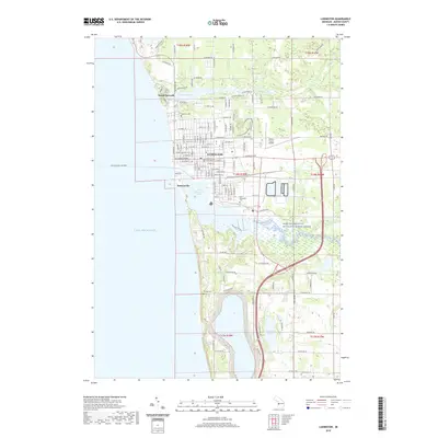
The Lake Michigan shoreline at Ludington is dominated by the intersection of maritime transport and industry in the early 1980s. A large Storage Reservoir and the Ludington Hydroelectric Plant anchor the southern coastline, illustrating the scale of local infrastructure projects of the era. To the north, the Epworth Assembly and Ludington State Park flank Lincoln Lake, while the city center is marked by civic landmarks like the Courthouse and Hospital.
Find a feature on this map
79 named features on this map. Tap any name to fly to it.
Don’t see what you’re looking for? This feature index may not catch every label — zoom into the map to look around manually.
Map Details
Date Portrayed1983
Date Published1983
PublisherU.S. Geological Survey
Map TypeTopographic
Scale1:25,000
Physical Dimensions21.8 x 26.7 inches
Editions of this 1983 Ludington Map
This is the sole edition of this map. No revisions or reprints were ever made.
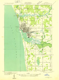
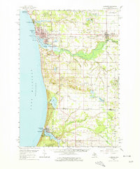
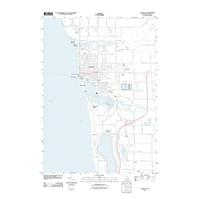
Historical Maps of Ludington Through Time
9 maps found


Featured Locations
- Amber Township, MI
- Ludington, MI
- Pere Marquette Charter Township, MI
- Riverton Township, MI
- Buttersville, Pere Marquette Charter Township
Source Details
SourceU.S. Geological Survey
CopyrightPublic Domain