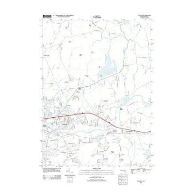
2012 Map of Ludlow
USGS Topo · Published 2012About this map
Wallamanumps Falls and the Chicopee River define the industrial and natural geography of this Hampden County region. This 2012 survey captures the modern infrastructure of Ludlow and North Wilbraham, illustrating how centuries of settlement have organized around the waterway and its many tributaries, including Minechoag Brook and Roaring Brook. The terrain transitions from the low-lying river valley to the heights of the Wilbraham Mountains and Minechoag Mountain, with the large Springfield Reservoir dominating the central landscape.
Find a feature on this map
238 named features on this map. Tap any name to fly to it.
Don’t see what you’re looking for? This feature index may not catch every label — zoom into the map to look around manually.
Map Details
Editions of this 2012 Ludlow Map
This is the sole edition of this map. No revisions or reprints were ever made.
Other maps of this area

1885 · Northampton
USGS Topo · 1:62,500

1886 · Springfield
USGS Topo · 1:62,500

1886 · Northampton
USGS Topo · 1:62,500

1887 · Palmer
USGS Topo · 1:62,500

1887 · Belchertown
USGS Topo · 1:62,500

1889 · Springfield
USGS Topo · 1:62,500

1889 · Palmer
USGS Topo · 1:62,500

1890 · Belchertown
USGS Topo · 1:62,500

1891 · Northampton
USGS Topo · 1:62,500

1893 · Northampton
USGS Topo · 1:62,500