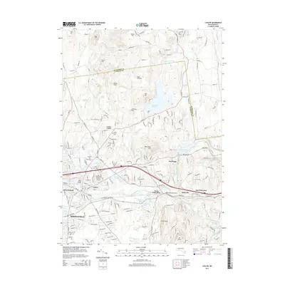
2015 Map of Ludlow
USGS Topo · Published 2015About this map
Ludlow Center and the southern reaches of Springfield anchor this 2015 survey, which traces the boundary between Hampshire and Hampden counties. The landscape is defined by its complex hydrography, where the Chicopee River winds past Indian Orchard and Red Bridge, fed by numerous tributaries like Twelvemile Brook and Harris Brook. These waterways have historically dictated the development of the region's industry and settlement patterns, seen in the proximity of established communities to the riverbanks.
Find a feature on this map
74 named features on this map. Tap any name to fly to it.
Don’t see what you’re looking for? This feature index may not catch every label — zoom into the map to look around manually.
Map Details
Editions of this 2015 Ludlow Map
This is the sole edition of this map. No revisions or reprints were ever made.
Other maps of this area

1885 · Northampton
USGS Topo · 1:62,500

1886 · Springfield
USGS Topo · 1:62,500

1886 · Northampton
USGS Topo · 1:62,500

1887 · Palmer
USGS Topo · 1:62,500

1887 · Belchertown
USGS Topo · 1:62,500

1889 · Springfield
USGS Topo · 1:62,500

1889 · Palmer
USGS Topo · 1:62,500

1890 · Belchertown
USGS Topo · 1:62,500

1891 · Northampton
USGS Topo · 1:62,500

1893 · Northampton
USGS Topo · 1:62,500