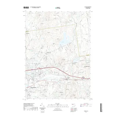
2021 Map of Ludlow
USGS Topo · Published 2021About this map
The Chicopee River defines the heart of this landscape, separating the settlements of Ludlow and Wilbraham as it winds toward the edge of Springfield. This 2021 survey illustrates a region defined by its water resources and industrial heritage, from the sprawling Springfield Reservoir and Broad Brook Canal in the north to the smaller impoundments like Spectacle Pond and Ninemile Pond further south. The topography transitions from the heights of Rock Rimmon and Facing Hills down to the river valley, where the historic Boston Post Rd remains a vital transit corridor through North Wilbraham.
Find a feature on this map
225 named features on this map. Tap any name to fly to it.
Don’t see what you’re looking for? This feature index may not catch every label — zoom into the map to look around manually.
Map Details
Editions of this 2021 Ludlow Map
This is the sole edition of this map. No revisions or reprints were ever made.
Other maps of this area

1885 · Northampton
USGS Topo · 1:62,500

1886 · Springfield
USGS Topo · 1:62,500

1886 · Northampton
USGS Topo · 1:62,500

1887 · Palmer
USGS Topo · 1:62,500

1887 · Belchertown
USGS Topo · 1:62,500

1889 · Springfield
USGS Topo · 1:62,500

1889 · Palmer
USGS Topo · 1:62,500

1890 · Belchertown
USGS Topo · 1:62,500

1891 · Northampton
USGS Topo · 1:62,500

1893 · Northampton
USGS Topo · 1:62,500