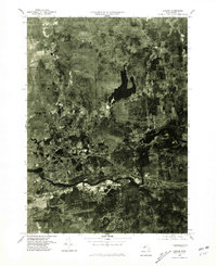
1975 Map of Ludlow
USGS Topo · Published 1981About this map
Chicopee River frontage and the industrial-residential landscape of Hampden County are captured in this 1975 orthophotoquad. The map reveals the physical relationship between the established town centers of Ludlow and North Wilbraham, showing how development has followed the river valley and the major highway corridors that bisect the region. North of the river, the landscape shifts from the dense grids of Ludlow City toward the wooded elevations of Minechoag Mountain and the expansive Springfield Reservoir.
Find a feature on this map
9 named features on this map. Tap any name to fly to it.
Don’t see what you’re looking for? This feature index may not catch every label — zoom into the map to look around manually.
Map Details
Editions of this 1975 Ludlow Map
This is the sole edition of this map. No revisions or reprints were ever made.
Other maps of this area

1885 · Northampton
USGS Topo · 1:62,500

1886 · Springfield
USGS Topo · 1:62,500

1886 · Northampton
USGS Topo · 1:62,500

1887 · Palmer
USGS Topo · 1:62,500

1887 · Belchertown
USGS Topo · 1:62,500

1889 · Springfield
USGS Topo · 1:62,500

1889 · Palmer
USGS Topo · 1:62,500

1890 · Belchertown
USGS Topo · 1:62,500

1891 · Northampton
USGS Topo · 1:62,500

1893 · Northampton
USGS Topo · 1:62,500