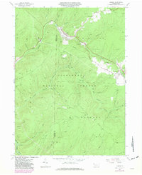
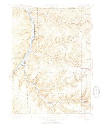
1966 Map of Ludlow
USGS Topo · Published 1981About this map
The Allegheny National Forest landscape here is defined by a dense network of energy infrastructure and timber history. In the mid-1960s, the Sheffield Oil Field and various unnamed oil and gas fields dominate the terrain, particularly along the southern reaches of Tionesta Creek. The settlement of Ludlow serves as a central hub, situated where Twomile Run meets the Conrail line. To the west, the smaller outpost of Roystone sits near a concentration of oil wells, while Wetmore marks the eastern edge of the survey area.
Find a feature on this map
40 named features on this map. Tap any name to fly to it.
Don’t see what you’re looking for? This feature index may not catch every label — zoom into the map to look around manually.
Map Details
Editions of this 1966 Ludlow Map
4 editions found
Other maps of this area

1906 · Warren
USGS Topo · 1:62,500

1907 · Warren
USGS Topo · 1:62,500

1908 · Warren
USGS Topo · 1:62,500

1934 · Kane
USGS Topo · 1:48,000

1935 · Sheffield
USGS Topo · 1:48,000

1936 · Kinzua
USGS Topo · 1:48,000

1939 · Kane
USGS Topo · 1:62,500

1941 · Sheffield
USGS Topo · 1:62,500

1941 · Kinzua
USGS Topo · 1:62,500
1949 · Kinzua
USGS Topo · 1:62,500
Featured Places
- Sheffield Township, PA
- Wetmore, Hamilton Township
- Wetmore Township, PA
- Hamilton Township, PA
- Ludlow, Hamilton Township