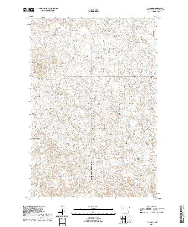
2021 Map of Ludlow SE
USGS Topo · Published 2021About this map
Ashcroft Butte and Flint Butte stand as prominent topographic markers in this high plains landscape of Harding County. The terrain is defined by a dendritic drainage network where Big Nasty Creek and Coal Bank Creek carve through the northern sections, while Horse Creek and Lems Creek draw water toward the southeast. This 2021 survey illustrates a sparse ranching and conservation environment, where human presence is primarily marked by a grid of section lines and remote access routes. Significant thoroughfares like Co Hwy 858 and Lincoln Road provide the primary infrastructure, while the Welch Fire Trail suggests the practical necessities of managing this open country. The map provides a precise look at the Public Land Survey System divisions, including t22n r7e and t21n r6e, which continue to dictate the boundaries of local land use and ownership.
Find a feature on this map
14 named features on this map. Tap any name to fly to it.
Don’t see what you’re looking for? This feature index may not catch every label — zoom into the map to look around manually.
Map Details
Editions of this 2021 Ludlow SE Map
This is the sole edition of this map. No revisions or reprints were ever made.
Other maps of this area

1935 · Reva
USGS Topo · 1:125,000

1954 · Lemmon
USGS Topo · 1:250,000

1957 · Lemmon
USGS Topo · 1:250,000

1968 · Eagles Nest Butte
USGS Topo · 1:24,000

1968 · Ralph SW
USGS Topo · 1:24,000

1968 · Bowman-Haley Dam
USGS Topo · 1:24,000

1968 · Ludlow
USGS Topo · 1:24,000

1968 · Tepee Buttes
USGS Topo · 1:24,000

1968 · Ludlow SE
USGS Topo · 1:24,000

1969 · Reva NW
USGS Topo · 1:24,000