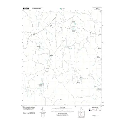
2011 Map of Ludville
USGS Topo · Published 2011About this map
Hinton and Ludville anchor this northern Georgia landscape, where a network of rural routes and creek valleys define the settlement patterns of Pickens County. The terrain is marked by numerous peaks including Henderson Mountain, Sharp Mountain, and Tally Mountain, which separate the drainage of Scarecorn Creek from the southern reaches of Salacoa Creek. This area is characterized by a high concentration of watershed management infrastructure, with multiple numbered dams like Sallacoa Creek Watershed Dam Number 95 and Talking Rock Watershed Dam Number One creating small reservoirs such as Kraft Lake and Watson Lake. For genealogists, the map reveals several family-named locations and cemeteries, including the County Line Cemetery and Hutcherson Cemetery, alongside smaller communities like Jerusalem and Talmadge. This modern survey documents the persistence of historic hamlets amidst a complex system of water conservation and mountain ridges.
Find a feature on this map
92 named features on this map. Tap any name to fly to it.
Don’t see what you’re looking for? This feature index may not catch every label — zoom into the map to look around manually.
Map Details
Editions of this 2011 Ludville Map
This is the sole edition of this map. No revisions or reprints were ever made.
Other maps of this area

1886 · Dalton
USGS Topo · 1:125,000

1888 · Ellijay
USGS Topo · 1:125,000

1890 · Suwanee
USGS Topo · 1:125,000

1890 · Cartersville
USGS Topo · 1:125,000

1891 · Cartersville
USGS Topo · 1:125,000

1892 · Ellijay
USGS Topo · 1:125,000

1892 · Dalton
USGS Topo · 1:125,000

1894 · Suwanee
USGS Topo · 1:125,000

1896 · Cartersville
USGS Topo · 1:125,000

1897 · Dalton
USGS Topo · 1:125,000