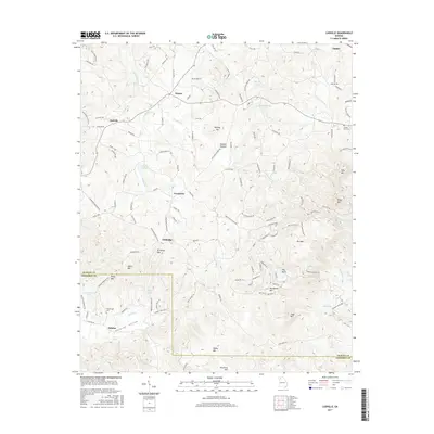
2017 Map of Ludville
USGS Topo · Published 2017About this map
Jerusalem and the surrounding mountain ridges of Pickens County are defined by a complex network of creeks and small settlements in this modern-era study. The landscape is marked by prominent elevations including Rich Mtn, Sharp Mtn, and Henderson Mtn, which frame the agricultural and residential pockets of the Salacoa Valley. Significant water features like Salacoa Cr, Scarecorn Cr, and several private reservoirs such as Van Valkenburgh Lake and Watson Lake drain the area's varied terrain. Genealogists and local historians can pinpoint long-standing community markers such as Hutcherson Cem near Salacoa and County Line Cem on the eastern edge. The map captures the persistence of smaller place names like Hinton, Ludville, and Talmadge, while also detailing the naming of specific topographic features like Murphy Top and Murphy Bottom, providing a contemporary view of these established North Georgia mountain communities.
Find a feature on this map
131 named features on this map. Tap any name to fly to it.
Don’t see what you’re looking for? This feature index may not catch every label — zoom into the map to look around manually.
Map Details
Editions of this 2017 Ludville Map
This is the sole edition of this map. No revisions or reprints were ever made.
Other maps of this area

1886 · Dalton
USGS Topo · 1:125,000

1888 · Ellijay
USGS Topo · 1:125,000

1890 · Suwanee
USGS Topo · 1:125,000

1890 · Cartersville
USGS Topo · 1:125,000

1891 · Cartersville
USGS Topo · 1:125,000

1892 · Ellijay
USGS Topo · 1:125,000

1892 · Dalton
USGS Topo · 1:125,000

1894 · Suwanee
USGS Topo · 1:125,000

1896 · Cartersville
USGS Topo · 1:125,000

1897 · Dalton
USGS Topo · 1:125,000