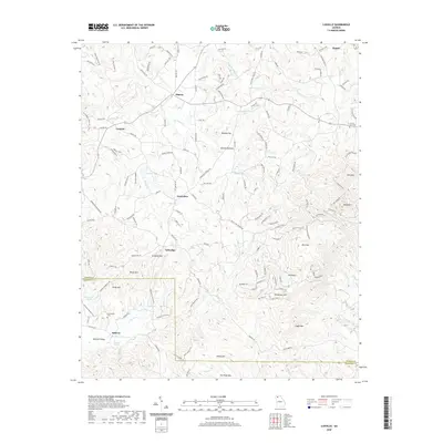
2020 Map of Ludville
USGS Topo · Published 2020About this map
Salacoa Valley and the surrounding southern Appalachian foothills define this landscape at the border of Pickens and Cherokee Counties. The rural character of northern Georgia is evident in the cluster of small, historically established settlements like Ludville, Jerusalem, and Hinton. These communities are connected by a network of winding mountain roads and gaps between prominent peaks such as Henderson Mtn, Rich Mtn, and Oakey Mtn.
Find a feature on this map
150 named features on this map. Tap any name to fly to it.
Don’t see what you’re looking for? This feature index may not catch every label — zoom into the map to look around manually.
Map Details
Editions of this 2020 Ludville Map
This is the sole edition of this map. No revisions or reprints were ever made.
Other maps of this area

1886 · Dalton
USGS Topo · 1:125,000

1888 · Ellijay
USGS Topo · 1:125,000

1890 · Suwanee
USGS Topo · 1:125,000

1890 · Cartersville
USGS Topo · 1:125,000

1891 · Cartersville
USGS Topo · 1:125,000

1892 · Ellijay
USGS Topo · 1:125,000

1892 · Dalton
USGS Topo · 1:125,000

1894 · Suwanee
USGS Topo · 1:125,000

1896 · Cartersville
USGS Topo · 1:125,000

1897 · Dalton
USGS Topo · 1:125,000