
1976 Map of Luftee Knob
USGS Topo · Published 1979About this map
Luftee Knob and the surrounding high ridges of the Great Smoky Mountains define this orthophotoquad, which uses rectified aerial imagery to showcase the dense forest canopy of western North Carolina in the mid-1970s. This specific type of survey provides a unique visual record of the land surface, revealing the intricate drainage patterns feeding into Big Creek and the sharp relief of Mount Sterling Ridge. Because it is based on 1976 photography, it captures the vegetation and land cover precisely as it existed before modern shifts in forest composition. Significant topographic landmarks like Big Cataloochee Mountain and Balsam Mountain dominate the southern portion of the sheet, while the northern extent reaches into the heights of Camel Hump Mtn.
Find a feature on this map
7 named features on this map. Tap any name to fly to it.
Don’t see what you’re looking for? This feature index may not catch every label — zoom into the map to look around manually.
Map Details
Editions of this 1976 Luftee Knob Map
This is the sole edition of this map. No revisions or reprints were ever made.
Other maps of this area

1893 · Mt Guyot
USGS Topo · 1:125,000

1912 · Mt Guyot
USGS Topo · 1:125,000

1935 · Newport
USGS Topo · 1:48,000

1935 · Hartford
USGS Topo · 1:24,000

1935 · English Mountain
USGS Topo · 1:48,000

1935 · Dellwood
USGS Topo · 1:24,000

1935 · Jones Cove
USGS Topo · 1:24,000

1936 · Bunches Bald
USGS Topo · 1:24,000
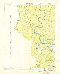
1936 · Cove Creek Gap
USGS Topo · 1:24,000
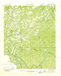
1936 · Waterville
USGS Topo · 1:24,000