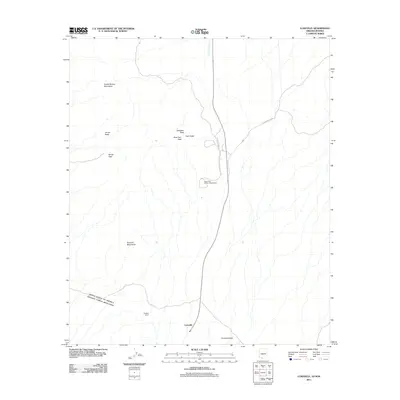
2011 Map of Lukeville
USGS Topo · Published 2011About this map
Lukeville stands at the international boundary between the United States of America and Estados Unidos Mexicanos, serving as a critical gateway through the Sonoran desert. This early 21st-century landscape is dominated by the expansive Organ Pipe Cactus Natl Monument, which encompasses prominent landforms like the Puerto Blanco Mountains and the Sonoyta Mountains. The presence of the Organ Pipe Family Campground and the residential Dowling Ranch highlights the dual nature of this territory as both a federally protected wilderness and a small border community.
Find a feature on this map
16 named features on this map. Tap any name to fly to it.
Don’t see what you’re looking for? This feature index may not catch every label — zoom into the map to look around manually.
Map Details
Editions of this 2011 Lukeville Map
This is the sole edition of this map. No revisions or reprints were ever made.
Other maps of this area

1953 · Ajo
USGS Topo · 1:250,000

1954 · Sonoyta
USGS Topo · 1:250,000

1957 · Ajo
USGS Topo · 1:250,000

1958 · Ajo
USGS Topo · 1:250,000

1962 · Ajo
USGS Topo · 1:250,000

1963 · Ajo
USGS Topo · 1:250,000

1963 · Mt. Ajo
USGS Topo · 1:62,500

1963 · Lukeville
USGS Topo · 1:62,500

1963 · Kino Peak
USGS Topo · 1:62,500

1963 · Lukeville
USGS Topo · 1:250,000