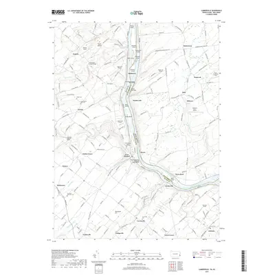
2019 Map of Lumberville
USGS Topo · Published 2019About this map
Lumberville and Point Pleasant anchor the Pennsylvania bank of the river, where the Delaware and Raritan Canal follows the winding course of the Delaware River. This landscape is defined by the transition from riverine commerce to inland agriculture, connected by historic crossings like the Cabin Run Covered Bridge and Frankenfield Covered Bridge. The map reveals a dense network of local landmarks, including the Devils Tea Table rock formation and numerous river islands such as Bulls Island and Treasure Island. Local heritage is preserved in sites like the Point Pleasant Baptist Church Cem and the Lower Tinicum Union Cem. Small hamlets like Carversville, Tinicum, and Gardenville are interconnected by roads such as River Rd and Hollow Horn Rd, tracing the path of 18th and 19th-century settlement along tributaries like Tohickon Creek and Tinicum Cr.
Find a feature on this map
169 named features on this map. Tap any name to fly to it.
Don’t see what you’re looking for? This feature index may not catch every label — zoom into the map to look around manually.
Map Details
Editions of this 2019 Lumberville Map
This is the sole edition of this map. No revisions or reprints were ever made.
Other maps of this area

1890 · Easton
USGS Topo · 1:62,500

1890 · High Bridge
USGS Topo · 1:62,500

1890 · Lambertville
USGS Topo · 1:62,500

1890 · Doylestown
USGS Topo · 1:62,500

1891 · Easton
USGS Topo · 1:62,500

1891 · Lambertville
USGS Topo · 1:62,500

1891 · Doylestown
USGS Topo · 1:62,500

1894 · Lambertville
USGS Topo · 1:62,500

1898 · High Bridge
USGS Topo · 1:62,500

1900 · Raritan
USGS Topo · 1:125,000
Featured Places
- Buckingham Township, PA
- Solebury Township, PA
- Bedminster Township, PA
- Tinicum Township, PA
- Kingwood Township, NJ