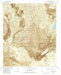
1982 Map of Lumley Lake
USGS Topo · Published 1982About this map
White Sands Missile Range dominates this 1982 orthophotomap, showing the stark intersection of military infrastructure and the unique geological formations of the Tularosa Basin. The landscape is defined by the vast Alkali Flat and areas of shifting sand, where water is scarce and highly mineralized. Natural water features like Big Salt Lake, Little Salt Lake, and the namesake Lumley Lake appear as ephemeral catchments in this arid environment. Evidence of human activity is sparse but notable, ranging from the CCC Tank—likely a remnant of Civilian Conservation Corps work—to modern installations like the Radio Tower and the SW 50 Site. The boundary between Sierra and Dona Ana counties cuts through the southeastern portion of the map, near Alkali Spring, providing a precise record of the regional geography before further landscape shifts.
Find a feature on this map
15 named features on this map. Tap any name to fly to it.
Don’t see what you’re looking for? This feature index may not catch every label — zoom into the map to look around manually.
Map Details
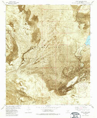
Editions of this 1982 Lumley Lake Map
2 editions found
Other maps of this area

1916 · Tonuco
USGS Topo · 1:125,000

1916 · Salinas Peak
USGS Topo · 1:125,000

1916 · Tularosa
USGS Topo · 1:125,000

1916 · Point Of Sands
USGS Topo · 1:125,000

1932 · Tonuco
USGS Topo · 1:125,000

1947 · Point Of Sands 2
USGS Topo · 1:62,500

1948 · Kaylor Mountain
USGS Topo · 1:62,500

1948 · Black Top Mountain
USGS Topo · 1:62,500

1948 · Lumley Lake
USGS Topo · 1:62,500

1954 · Tularosa
USGS Topo · 1:250,000