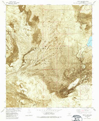
1982 Map of Lumley Lake
USGS Topo · Published 1987About this map
White Sands Missile Range dominates this landscape in southern New Mexico, where the desert floor is defined by ephemeral hydrology and wind-blown geology. This orthophotomap, based on early 1970s aerial photography, provides a literal view of the White Sands dune fields and the expansive Alkali Flat. The presence of Lumley Lake, Big Salt Lake, and Little Salt Lake reveals a basin where water is seasonal and saline, leaving behind mineral crusts as it evaporates.
Find a feature on this map
15 named features on this map. Tap any name to fly to it.
Don’t see what you’re looking for? This feature index may not catch every label — zoom into the map to look around manually.
Map Details
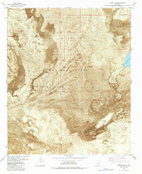
Editions of this 1982 Lumley Lake Map
2 editions found
Other maps of this area

1916 · Tonuco
USGS Topo · 1:125,000

1916 · Salinas Peak
USGS Topo · 1:125,000

1916 · Tularosa
USGS Topo · 1:125,000

1916 · Point Of Sands
USGS Topo · 1:125,000

1932 · Tonuco
USGS Topo · 1:125,000

1947 · Point Of Sands 2
USGS Topo · 1:62,500

1948 · Kaylor Mountain
USGS Topo · 1:62,500

1948 · Black Top Mountain
USGS Topo · 1:62,500

1948 · Lumley Lake
USGS Topo · 1:62,500

1954 · Tularosa
USGS Topo · 1:250,000