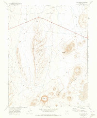
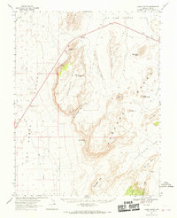
1967 Map of Lunar Crater
USGS Topo · Published 1973About this map
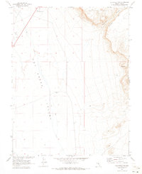
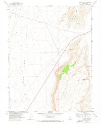
The volcanic topography of the Pancake Range dominates this late-1960s study, produced through a collaboration between the Atomic Energy Commission and the Geological Survey. The landscape is defined by its distinct basaltic features, most notably the namesake Lunar Crater and the curiously shaped Easy Chair Crater to the east. These geological formations rise from the arid floor of the Big Sand Springs Valley, providing a detailed look at the cinder cones and lava flows that characterize this part of Nye County.
Find a feature on this map
13 named features on this map. Tap any name to fly to it.
Don’t see what you’re looking for? This feature index may not catch every label — zoom into the map to look around manually.
Map Details
Editions of this 1967 Lunar Crater Map
This is the sole edition of this map. No revisions or reprints were ever made.
Other maps of this area

1956 · Lund
USGS Topo · 1:250,000

1956 · Tonopah
USGS Topo · 1:250,000

1959 · Tonopah
USGS Topo · 1:250,000

1960 · Lund
USGS Topo · 1:250,000

1962 · Tonopah
USGS Topo · 1:250,000
1967 · Lunar Crater
USGS Topo · 1:62,500
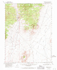
1967 · Moores Station
USGS Topo · 1:62,500
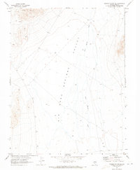
1967 · Moores Station SE
USGS Topo · 1:24,000
1967 · Buckwheat Rim
USGS Topo · 1:24,000
1967 · Palisade Mesa
USGS Topo · 1:24,000