
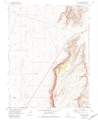
1967 Map of Palisade Mesa
USGS Topo · Published 1973About this map
Hot Creek Valley and the towering heights of Palisade Mesa dominate this landscape, reflecting a remote Nevada basin-and-range environment as it was documented in 1967. The mapping of this quadrangle involved a notable collaboration between the Geological Survey and the Atomic Energy Commission, highlighting the region's importance for scientific and government study during the late 1960s.
Find a feature on this map
13 named features on this map. Tap any name to fly to it.
Don’t see what you’re looking for? This feature index may not catch every label — zoom into the map to look around manually.
Map Details
Editions of this 1967 Palisade Mesa Map
2 editions found
Other maps of this area

1956 · Tonopah
USGS Topo · 1:250,000

1959 · Tonopah
USGS Topo · 1:250,000

1962 · Tonopah
USGS Topo · 1:250,000

1967 · Lunar Crater
USGS Topo · 1:62,500

1967 · Moores Station
USGS Topo · 1:62,500

1967 · Blue Jay Spring
USGS Topo · 1:24,000

1967 · Moores Station SE
USGS Topo · 1:24,000

1967 · Buckwheat Rim
USGS Topo · 1:24,000

1967 · Lunar Crater
USGS Topo · 1:24,000
1967 · Chuck Wagon Flat
USGS Topo · 1:24,000