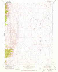
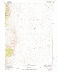
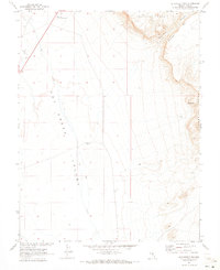
1967 Map of Blue Jay Spring
USGS Topo · Published 1972About this map
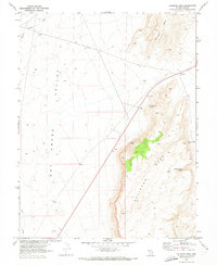
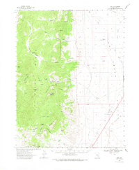
Tybo sits at the base of the mountains in this remote desert landscape, where the industry of the era is evidenced by tailings deposits near the canyon mouth. The map, produced in cooperation with the Atomic Energy Commission, documents a transition from the mining activity in Empire Canyon and Old Dominion Canyon to the wide expanse of Hot Creek Valley. Reliable water sources were clearly vital for survival and operations here, as shown by the scattered locations of Blue Jay Spring, Butte Spring, and the Keystone Well.
Find a feature on this map
13 named features on this map. Tap any name to fly to it.
Don’t see what you’re looking for? This feature index may not catch every label — zoom into the map to look around manually.
Map Details
Editions of this 1967 Blue Jay Spring Map
2 editions found
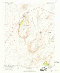
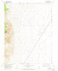
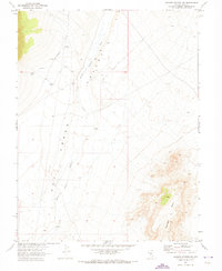
Other maps of this area

1956 · Tonopah
USGS Topo · 1:250,000

1959 · Tonopah
USGS Topo · 1:250,000

1962 · Tonopah
USGS Topo · 1:250,000
1967 · Lunar Crater
USGS Topo · 1:62,500
1967 · Moores Station
USGS Topo · 1:62,500
1967 · Buckwheat Rim
USGS Topo · 1:24,000
1967 · Palisade Mesa
USGS Topo · 1:24,000
1967 · Tybo SE
USGS Topo · 1:24,000
1967 · Moores Station SW
USGS Topo · 1:24,000
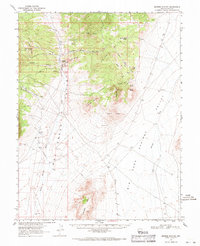
1968 · Tybo
USGS Topo · 1:62,500