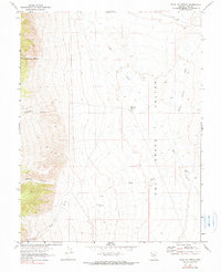
1967 Map of Blue Jay Spring
USGS Topo · Published 1990About this map
Tybo sits at the edge of the Hot Creek Valley, reflecting the mining activity that once defined this portion of Nye County. The landscape is marked by deep cuts such as Old Dominion Canyon, Keystone Canyon, and Empire Canyon, which drop from the western heights toward the valley floor. Evidence of mineral extraction is noted south of the settlement, where Tailings are recorded near Tybo Creek. Water sources were critical in this arid environment, represented by widely dispersed features like Blue Jay Spring, the Keystone Well, and Butte Spring. The Atomic Energy Commission helped map this area during the late 1960s, documenting a remote network of drainage washes like Moores Station Wash and the winding course of Hot Creek.
Find a feature on this map
15 named features on this map. Tap any name to fly to it.
Don’t see what you’re looking for? This feature index may not catch every label — zoom into the map to look around manually.
Map Details
Editions of this 1967 Blue Jay Spring Map
2 editions found
Other maps of this area

1956 · Tonopah
USGS Topo · 1:250,000

1959 · Tonopah
USGS Topo · 1:250,000

1962 · Tonopah
USGS Topo · 1:250,000

1967 · Lunar Crater
USGS Topo · 1:62,500

1967 · Moores Station
USGS Topo · 1:62,500

1967 · Blue Jay Spring
USGS Topo · 1:24,000

1967 · Buckwheat Rim
USGS Topo · 1:24,000

1967 · Palisade Mesa
USGS Topo · 1:24,000

1967 · Tybo SE
USGS Topo · 1:24,000
1967 · Moores Station SW
USGS Topo · 1:24,000