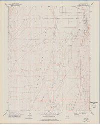
1978 Map of Lund
USGS Topo · Published 1978About this map
White River Valley and the settlement of Lund form the heart of this 1970s topographical record. The landscape is defined by the White River winding through Wilson Meadows, an area marked by numerous Spring and Springs that sustain the local agriculture and ranching economy. The town of Lund is shown in detail, featuring its High Sch, a Rodeo Arena, and the Lund Spring nearby. This map illustrates the ranching infrastructure of White Pine Co., including various corrals and irrigation Well sites scattered across the valley floor. To the south, Ruppes Place stands as a distinct named location amidst the open country. The presence of a Gravel Pit and a Drill Hole reflects the local resource extraction efforts during this era of Nevada's development.
Find a feature on this map
15 named features on this map. Tap any name to fly to it.
Don’t see what you’re looking for? This feature index may not catch every label — zoom into the map to look around manually.
Map Details
Editions of this 1978 Lund Map
This is the sole edition of this map. No revisions or reprints were ever made.
Other maps of this area

1956 · Lund
USGS Topo · 1:250,000

1960 · Lund
USGS Topo · 1:250,000

1969 · Moorman Spring NW
USGS Topo · 1:24,000

1969 · Moorman Spring NE
USGS Topo · 1:24,000

1969 · Haggerty Spring
USGS Topo · 1:24,000
1977 · Brown Knoll
USGS Topo · 1:24,000
1977 · Sawmill Canyon
USGS Topo · 1:24,000
1978 · Douglas
USGS Topo · 1:24,000
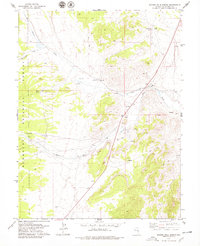
1978 · Badger Hole Spring
USGS Topo · 1:24,000
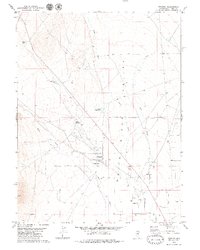
1979 · Preston
USGS Topo · 1:24,000