1978 Map of Douglas
USGS Topo · Published 1978About this map
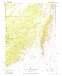
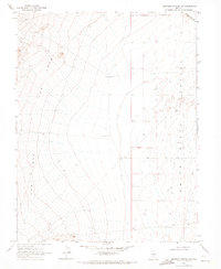
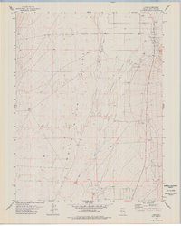
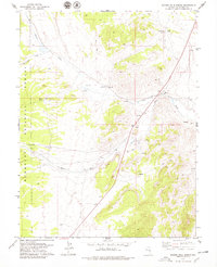
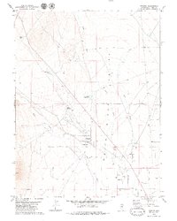
Douglas occupies a remote high-desert position along the northeastern edge of this 1970s topographic survey, situated where the terrain begins its steep descent into the White River Valley. The landscape is defined by the sharp transition from the wooded elevations of the Humboldt National Forest down toward the alluvial expanses of The Cove. This era of mapping documents the region's sparse infrastructure, characterized by several remote water sources such as Springs and an unnamed Spring tucked into the canyons.
Find a feature on this map
11 named features on this map. Tap any name to fly to it.
Don’t see what you’re looking for? This feature index may not catch every label — zoom into the map to look around manually.
Map Details
Editions of this 1978 Douglas Map
This is the sole edition of this map. No revisions or reprints were ever made.
Other maps of this area

1956 · Lund
USGS Topo · 1:250,000
1957 · Currant Mtn
USGS Topo · 1:62,500

1960 · Lund
USGS Topo · 1:250,000
1964 · Currant
USGS Topo · 1:62,500
1964 · Currant Mtn
USGS Topo · 1:62,500
1969 · Moorman Spring NW
USGS Topo · 1:24,000

1969 · Moorman Spring NE
USGS Topo · 1:24,000
1978 · Lund
USGS Topo · 1:24,000
1978 · Badger Hole Spring
USGS Topo · 1:24,000
1979 · Preston
USGS Topo · 1:24,000