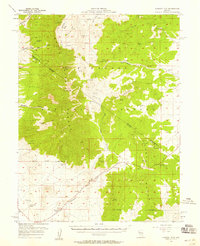
1964 Map of Currant
USGS Topo · Published 1965About this map
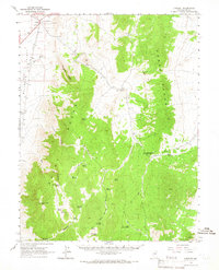
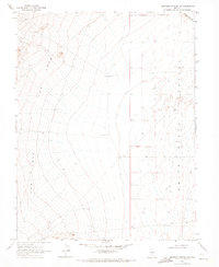
Currant serves as a small focal point in this high-desert landscape, where the Railroad Valley meets the high elevations of the Grant Range and Horse Range. The map reveals a reliance on vital water sources like Currant Springs and several remote wells, including Manzone Well and Callaway Well, which supported local ranching or mining activity. A Grave and numerous Prospects near the town suggest the presence of early settlers and miners who worked the land's geology, most notably at the El Padre Mine located near Red Mtn.
Find a feature on this map
40 named features on this map. Tap any name to fly to it.
Don’t see what you’re looking for? This feature index may not catch every label — zoom into the map to look around manually.
Map Details
Editions of this 1964 Currant Map
This is the sole edition of this map. No revisions or reprints were ever made.
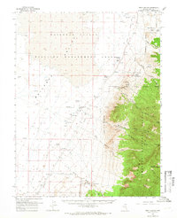
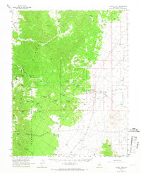
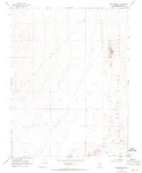
Other maps of this area

1956 · Lund
USGS Topo · 1:250,000
1957 · Currant Mtn
USGS Topo · 1:62,500

1960 · Lund
USGS Topo · 1:250,000
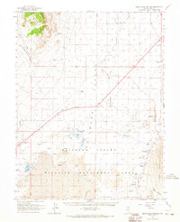
1964 · Blue Eagle Springs
USGS Topo · 1:62,500
1964 · Duckwater
USGS Topo · 1:62,500
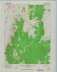
1964 · Currant Mtn
USGS Topo · 1:62,500
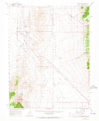
1964 · Troy Canyon
USGS Topo · 1:62,500
1964 · Forest Home
USGS Topo · 1:62,500
1969 · Sunnyside NW
USGS Topo · 1:24,000
1969 · Moorman Spring NW
USGS Topo · 1:24,000