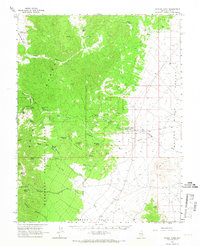
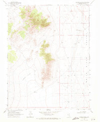
1964 Map of Forest Home
USGS Topo · Published 1966About this map
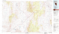
Forest Home sits at the base of the Grant Range within the eastern portion of the Humboldt National Forest. In the mid-1960s, this area of Nye County remained a landscape defined by its isolated water sources and complex terrain. Numerous springs, such as Heath Spring, Balsam Spring, and Bear Trap Spring, are scattered throughout the steep canyons of the range, including Heath Canyon and Grant Canyon. These water points were critical for livestock and wildlife in the high desert environment.
Find a feature on this map
42 named features on this map. Tap any name to fly to it.
Don’t see what you’re looking for? This feature index may not catch every label — zoom into the map to look around manually.
Map Details
Editions of this 1964 Forest Home Map
This is the sole edition of this map. No revisions or reprints were ever made.
Other maps of this area

1956 · Lund
USGS Topo · 1:250,000

1960 · Lund
USGS Topo · 1:250,000
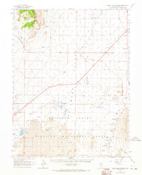
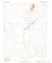
1964 · Blue Eagle Springs
USGS Topo · 1:62,500
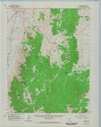
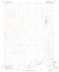
1964 · Currant
USGS Topo · 1:62,500
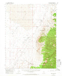
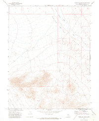
1964 · Troy Canyon
USGS Topo · 1:62,500
1969 · Hot Creek Butte
USGS Topo · 1:24,000
1969 · Sunnyside NW
USGS Topo · 1:24,000
1969 · Moorman Spring
USGS Topo · 1:24,000
1971 · Timber Mtn Pass NW
USGS Topo · 1:24,000
1980 · Duckwater
USGS Topo · 1:100,000