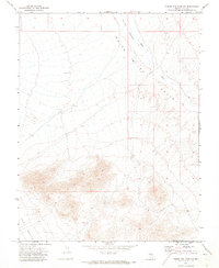
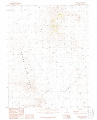
1971 Map of Timber Mtn Pass NW
USGS Topo · Published 1973About this map
White River Valley and the northern reaches of Coal Valley dominate this 1971 landscape, showing the arid expanse of eastern Nevada as it was documented by the Geological Survey. The terrain is defined by the ephemeral course of the White River, which winds through the valley floor near Murphy Meadows, a notable wet patch in an otherwise dry basin. While the map is largely devoid of settlements, a solitary Well located in the eastern portion of the sheet highlights the critical importance of water access for ranching and surveying in this remote section of Nye County. The high-relief contours surrounding the valley floors illustrate the stark transition between the flat alluvium and the uplifted ranges that hem in these vast interior basins.
Find a feature on this map
8 named features on this map. Tap any name to fly to it.
Don’t see what you’re looking for? This feature index may not catch every label — zoom into the map to look around manually.
Map Details
Editions of this 1971 Timber Mtn Pass NW Map
This is the sole edition of this map. No revisions or reprints were ever made.
Other maps of this area

1956 · Lund
USGS Topo · 1:250,000

1960 · Lund
USGS Topo · 1:250,000

1964 · Forest Home
USGS Topo · 1:62,500

1969 · Gap Mountain
USGS Topo · 1:24,000

1969 · Hot Creek Butte
USGS Topo · 1:24,000
1971 · Timber Mtn Pass NE
USGS Topo · 1:24,000
1971 · Timber Mtn Pass East
USGS Topo · 1:24,000
1971 · Timber Mtn Pass West
USGS Topo · 1:24,000

1985 · Water Gap East
USGS Topo · 1:24,000
1985 · Water Gap NE
USGS Topo · 1:24,000