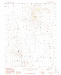
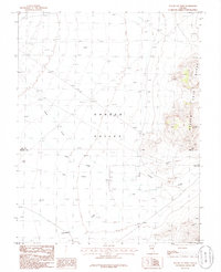
1985 Map of Water Gap NE
USGS Topo · Published 1986About this map
The Golden Gate Range dominates this mid-1980s landscape, serving as a high-altitude divide between two significant desert basins. To the west, the map captures the eastern edge of Garden Valley, while the southeastern corner reveals the opening of Coal Valley. This provisional study highlights the sparse but essential infrastructure of the Nevada interior, documenting isolated water sources like a Well and agricultural remnants such as Corrals. Notable geological details are also recorded, including a Cave tucked within the range and a specific Natural Arch located on the eastern slopes, offering a precise look at the area's natural landmarks before late-century shifts in land management.
Find a feature on this map
8 named features on this map. Tap any name to fly to it.
Don’t see what you’re looking for? This feature index may not catch every label — zoom into the map to look around manually.
Map Details
Editions of this 1985 Water Gap NE Map
This is the sole edition of this map. No revisions or reprints were ever made.
Other maps of this area

1956 · Lund
USGS Topo · 1:250,000

1960 · Lund
USGS Topo · 1:250,000

1964 · Forest Home
USGS Topo · 1:62,500

1969 · Hot Creek Butte
USGS Topo · 1:24,000
1971 · Timber Mtn Pass NW
USGS Topo · 1:24,000
1971 · Timber Mtn Pass West
USGS Topo · 1:24,000

1985 · Water Gap East
USGS Topo · 1:24,000
1985 · Water Gap NW
USGS Topo · 1:24,000
1985 · Water Gap West
USGS Topo · 1:24,000

1988 · Quinn Canyon Range
USGS Topo · 1:100,000