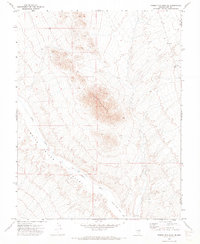
1971 Map of Timber Mtn Pass NE
USGS Topo · Published 1973About this map
Fox Mountain dominates this portion of the Great Basin, rising sharply above the arid floor of the White River Valley. This 1971 survey illustrates the precarious hydrology of the high desert, where the White River flows southward only to disappear into the White River Sink. The reliance on groundwater in this part of Nye and Lincoln Counties is evident through isolated water points like Esplin Well and a generic Well located near the valley's center. Human presence is sparse, marked primarily by a rugged Jeep Trail that skirts the mountain base, reflecting a landscape defined more by topography than by settlement. The map serves as a clear record of the region’s drainage patterns and ranching-related infrastructure at the start of the 1970s.
Find a feature on this map
8 named features on this map. Tap any name to fly to it.
Don’t see what you’re looking for? This feature index may not catch every label — zoom into the map to look around manually.
Map Details
Editions of this 1971 Timber Mtn Pass NE Map
This is the sole edition of this map. No revisions or reprints were ever made.
Other maps of this area

1956 · Lund
USGS Topo · 1:250,000

1960 · Lund
USGS Topo · 1:250,000

1969 · Gap Mountain
USGS Topo · 1:24,000

1969 · Hot Creek Butte
USGS Topo · 1:24,000
1971 · Silver King Mtn SW
USGS Topo · 1:24,000
1971 · Timber Mtn Pass NW
USGS Topo · 1:24,000

1971 · Silver King Mtn
USGS Topo · 1:24,000
1971 · Silver King Well
USGS Topo · 1:24,000
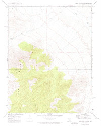
1971 · Timber Mtn Pass East
USGS Topo · 1:24,000
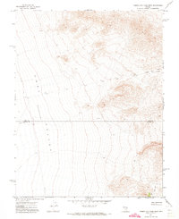
1971 · Timber Mtn Pass West
USGS Topo · 1:24,000