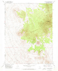
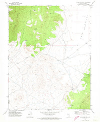
1971 Map of Silver King Mtn
USGS Topo · Published 1973About this map
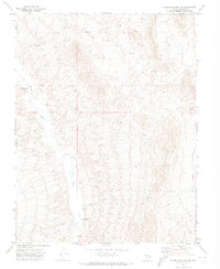
Schell Creek Range dominates this 1970s landscape, marking a high-elevation interior in the Great Basin. The map details the rugged verticality of the terrain, centered around the prominent Silver King Mountain and the nearby Burnt Peak. This area is characterized by its isolation and limited water resources, as evidenced by the Burnt Peak Well (Dry) and the sparse network of Jeep Trails and Trails that negotiate the slopes. For the researcher, the presence of a Prospect near the peaks suggests the era's localized mineral exploration within these remote ranges. The boundary between Nye and Lincoln Counties cuts through the western portion of the sheet, providing a precise reference for those studying historical regional borders or land use in this part of Nevada.
Find a feature on this map
9 named features on this map. Tap any name to fly to it.
Don’t see what you’re looking for? This feature index may not catch every label — zoom into the map to look around manually.
Map Details
Editions of this 1971 Silver King Mtn Map
3 editions found
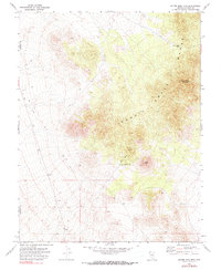
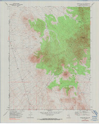
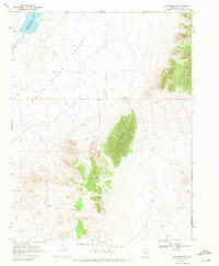
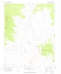
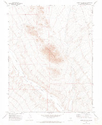
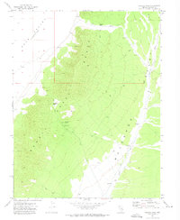
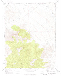
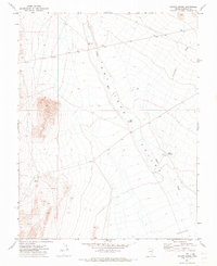
Other maps of this area

1956 · Lund
USGS Topo · 1:250,000

1960 · Lund
USGS Topo · 1:250,000
1969 · Gap Mountain
USGS Topo · 1:24,000
1971 · Silver King Mtn SW
USGS Topo · 1:24,000
1971 · Bailey Wash
USGS Topo · 1:24,000
1971 · Timber Mtn Pass NE
USGS Topo · 1:24,000
1971 · Sidehill Pass
USGS Topo · 1:24,000
1971 · Silver King Well
USGS Topo · 1:24,000
1971 · Timber Mtn Pass East
USGS Topo · 1:24,000
1971 · Coyote Spring
USGS Topo · 1:24,000