
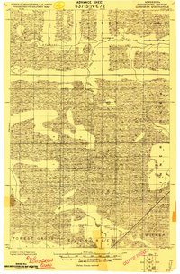
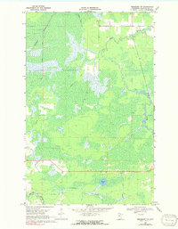
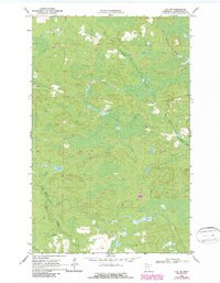
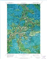
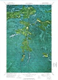
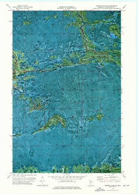
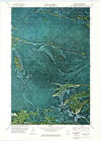
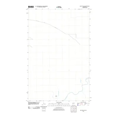
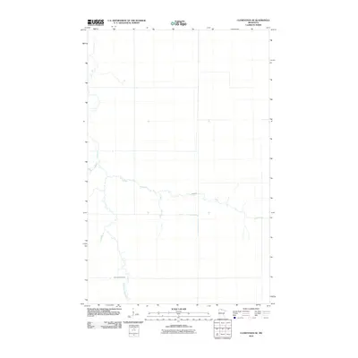
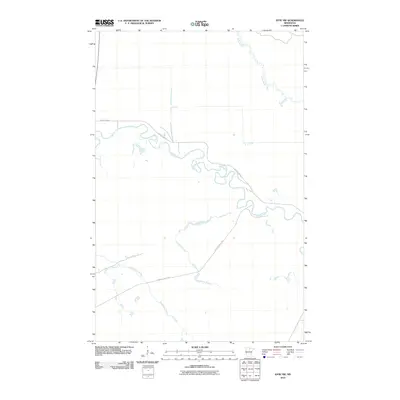
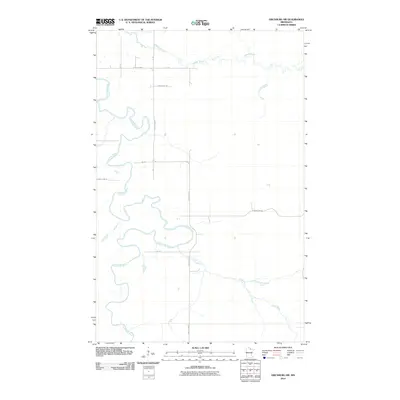
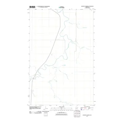
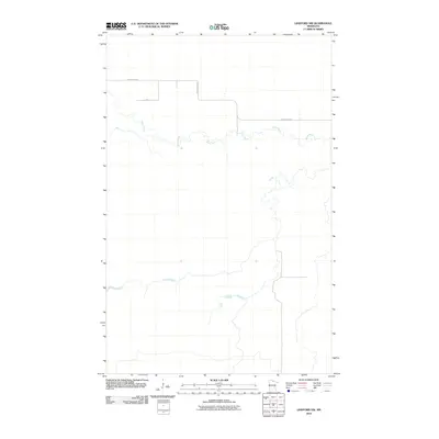
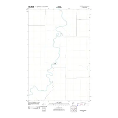
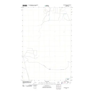
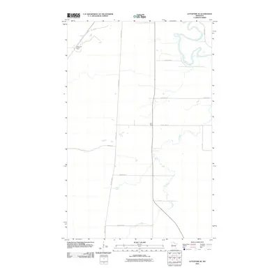
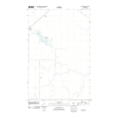
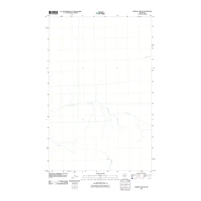
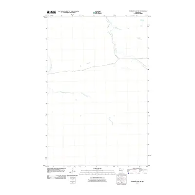
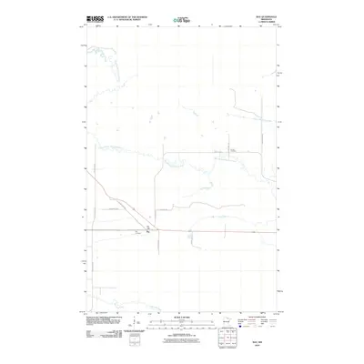
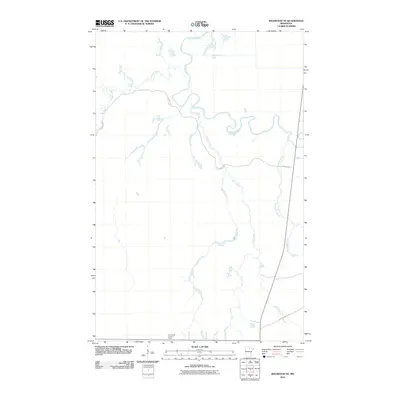
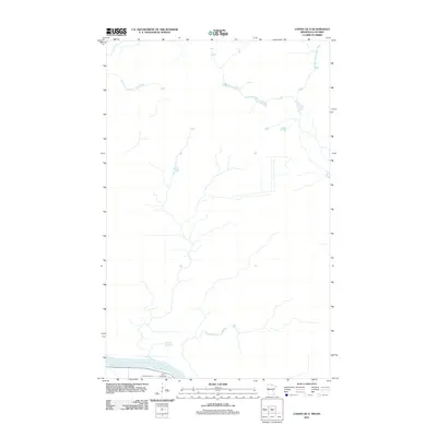
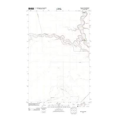
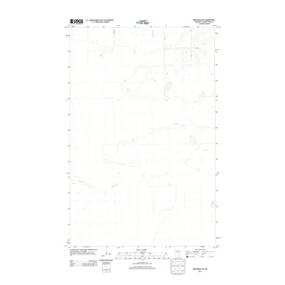
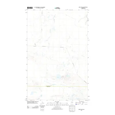
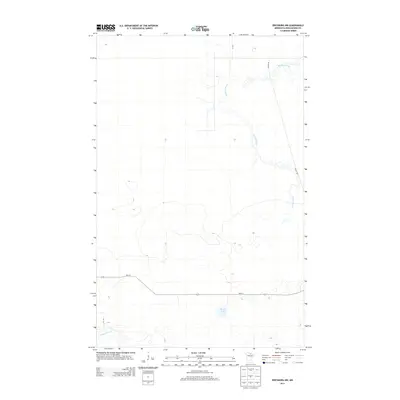
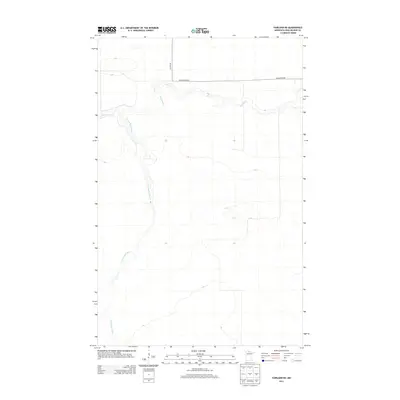
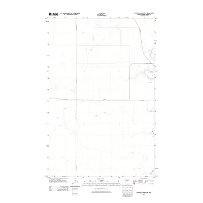
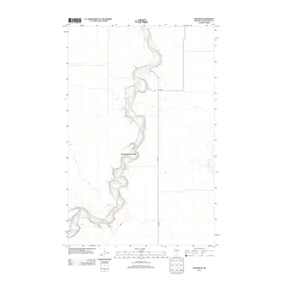
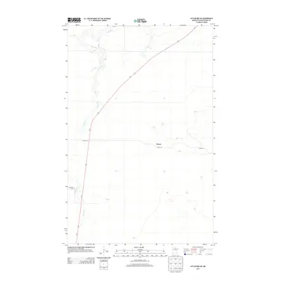
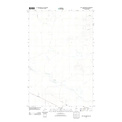
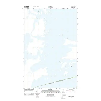
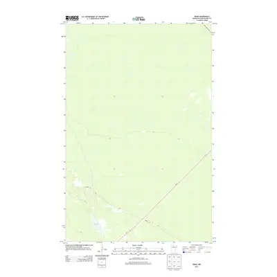
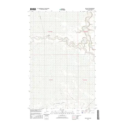
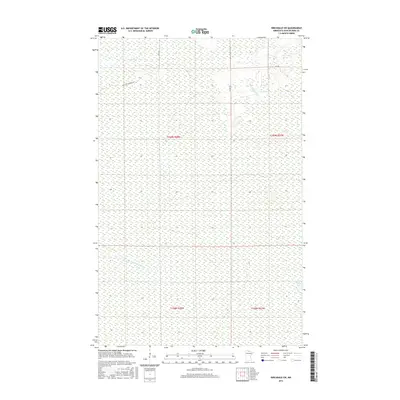
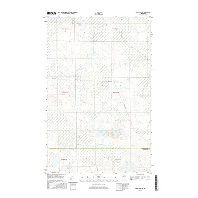
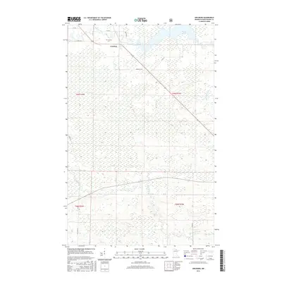
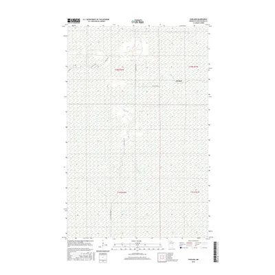
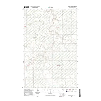
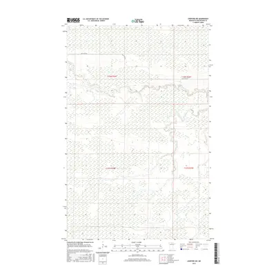
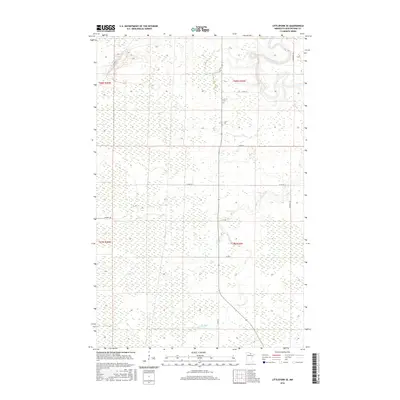
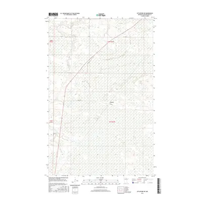
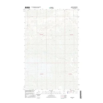
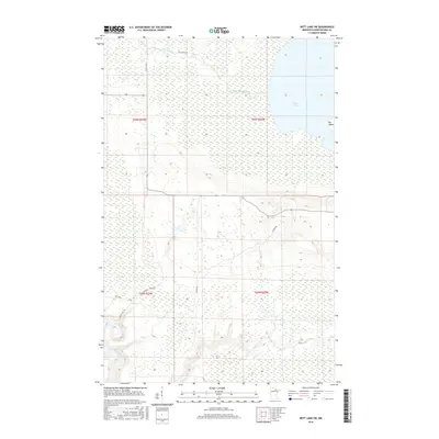
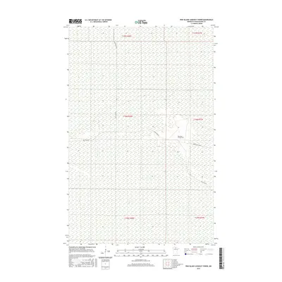
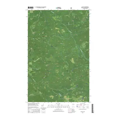
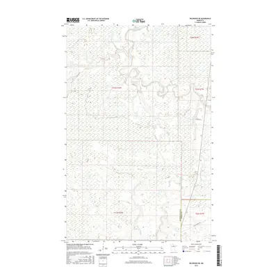
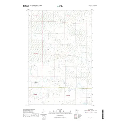
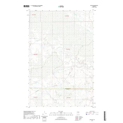
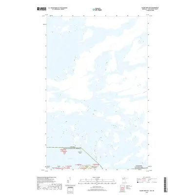
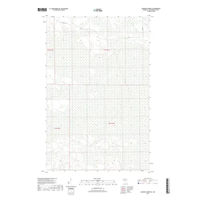
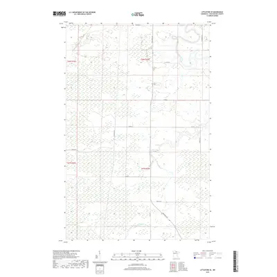
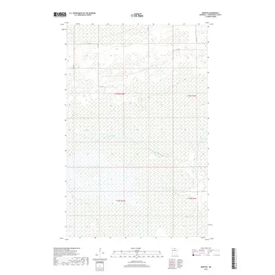
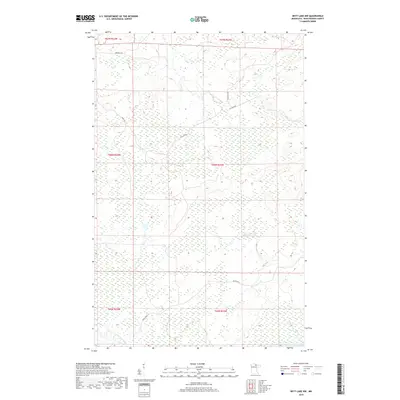
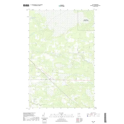
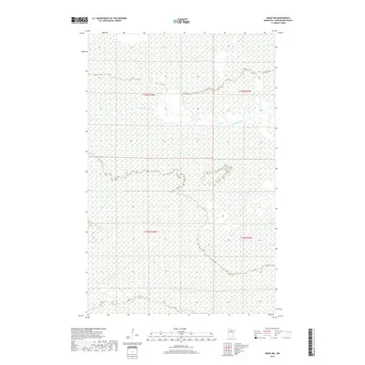
1919 Map of Lundgren
USGS Topo · Published 1943About this map
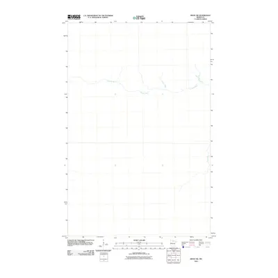
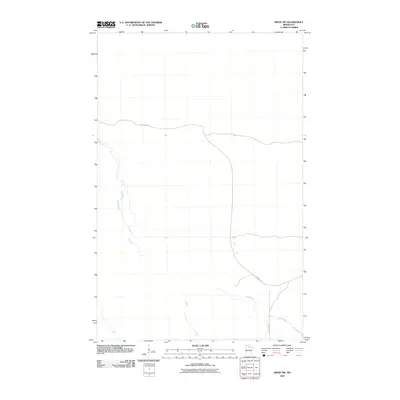
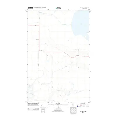
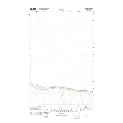
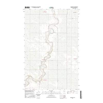
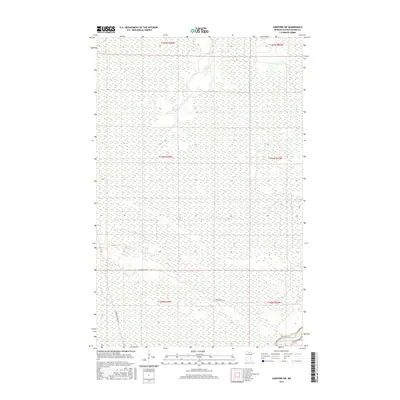
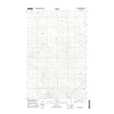
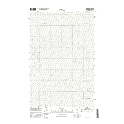
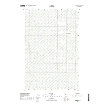
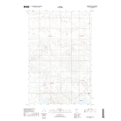
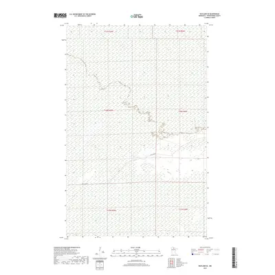
Sturgeon River flows across the northern reaches of this Koochiching County landscape, defining a region where early 20th-century drainage projects like Jud. Ditch attempted to manage the water-heavy terrain. Compiled during the First World War, this progressive military survey highlights the critical role of transportation in northern Minnesota's early development. The Minnesota and International railway cuts through the southeastern corner, supported by the Gravel Spur, which likely served the local logging or construction needs of the era. Small settlements and points of interest such as Lundgren, Forest Grove, Evergreen, and Wicker are situated along the lower section near the 13th Standard Parallel North. The map also captures the path of Dinner Creek and Hey Creek, illustrating the natural watercourses that dictated the placement of these early communities.
Find a feature on this map
15 named features on this map. Tap any name to fly to it.
Don’t see what you’re looking for? This feature index may not catch every label — zoom into the map to look around manually.
Map Details
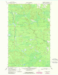
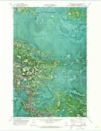
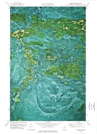
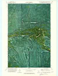
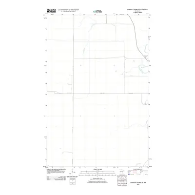
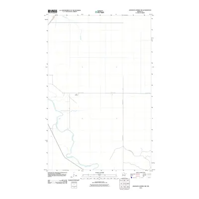
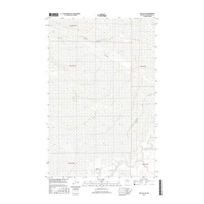
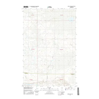
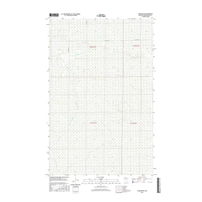
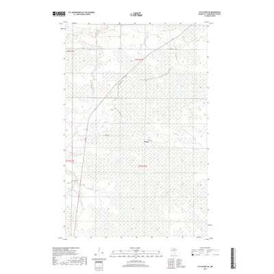
Editions of this 1919 Lundgren Map
2 editions found
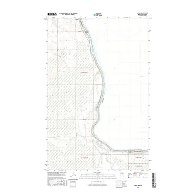
Historical Maps of Gates Corner Through Time
387 maps found

1918 Zora
Koochiching County, MN

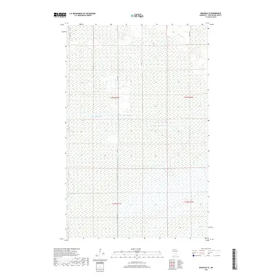
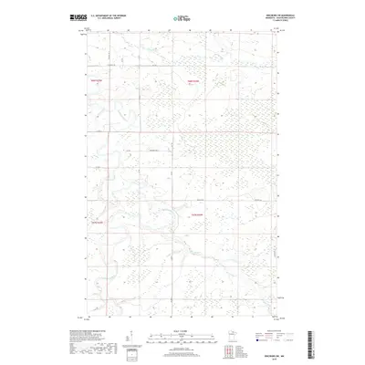
1919 Birchdale
Koochiching County, MN

1919 Bridgie
Koochiching County, MN

1919 Gemmell
Koochiching County, MN

1919 Happy Land
Koochiching County, MN

1919 I
Koochiching County, MN
1919 Lundgren
Koochiching County, MN

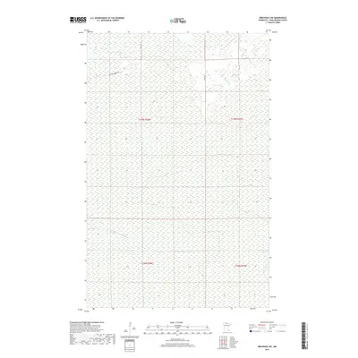
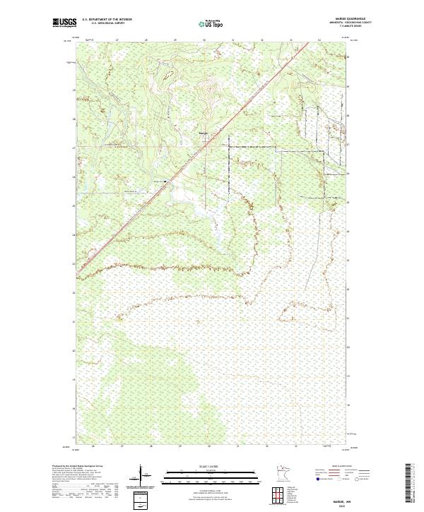
1919 Margie
Koochiching County, MN

1919 M
Koochiching County, MN

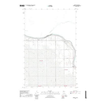
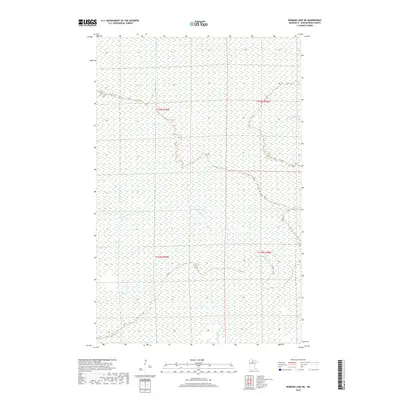
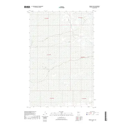
1919 Norden
Koochiching County, MN

1919 Pelland
Koochiching County, MN

1919 Zora
Koochiching County, MN

1924 Bridgie
Koochiching County, MN

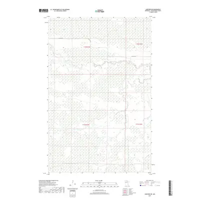
1943 Lindford
Koochiching County, MN

1968 Birchdale
Koochiching County, MN

1968 Birchdale SE
Koochiching County, MN
1968 Birchdale SW
Koochiching County, MN

1968 Border
Koochiching County, MN

1968 Clementson SE
Koochiching County, MN
1968 Stratton
Koochiching County, MN
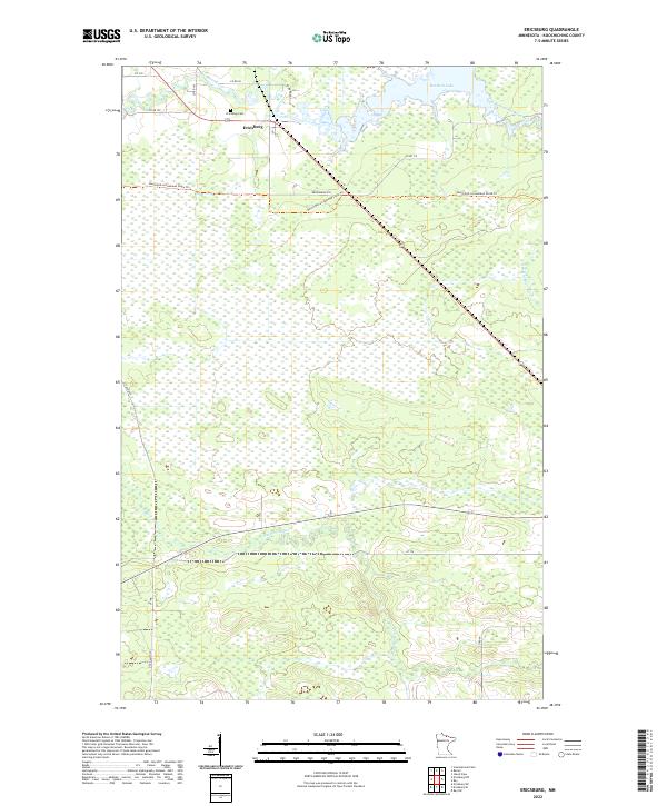
1969 Ericsburg
Koochiching County, MN
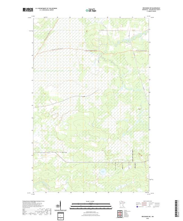
1969 Ericsburg NW
Koochiching County, MN
1969 Ericsburg SE
Koochiching County, MN

1969 Ericsburg SW
Koochiching County, MN
1969 Island View
Koochiching County, MN
1969 Ray
Koochiching County, MN
1969 Ray SW
Koochiching County, MN

1970 Big Falls SE
Koochiching County, MN

1970 Deer Lake NE
Koochiching County, MN

1970 Deer Lake NW
Koochiching County, MN

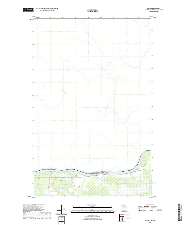
1970 Devlin
Koochiching County, MN

1970 Johnson Landing NE
Koochiching County, MN

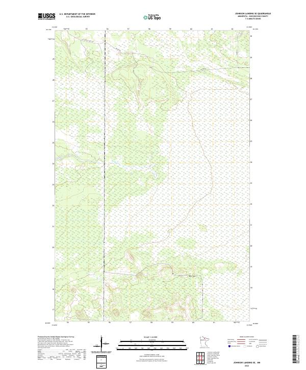
1970 Johnson Landing SE
Koochiching County, MN

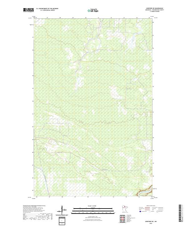
1970 Lindford
Koochiching County, MN

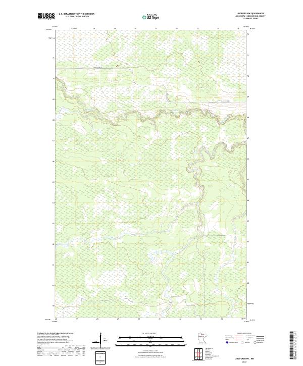
1970 Lindford NW
Koochiching County, MN

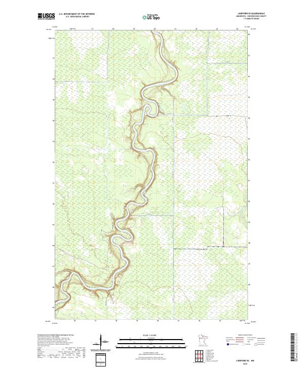
1970 Lindford SE
Koochiching County, MN

1970 Lindford SW
Koochiching County, MN

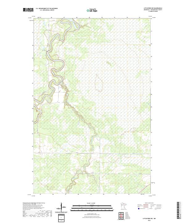
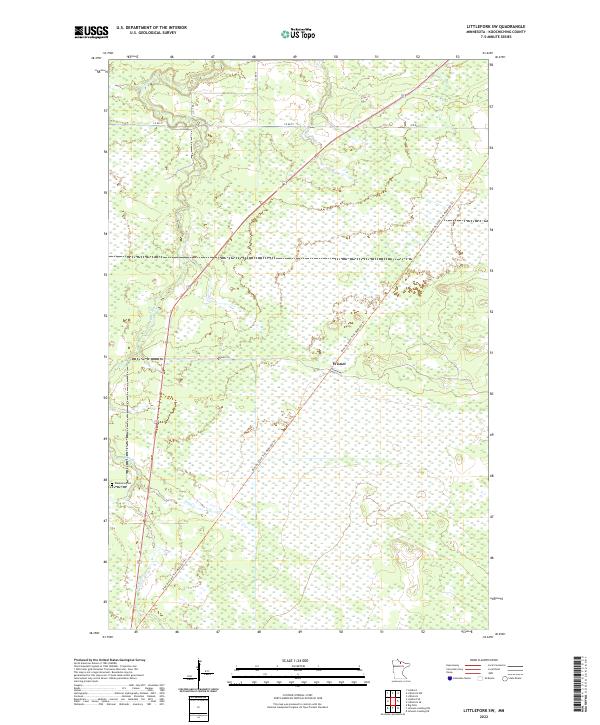
1970 Littlefork NW
Koochiching County, MN

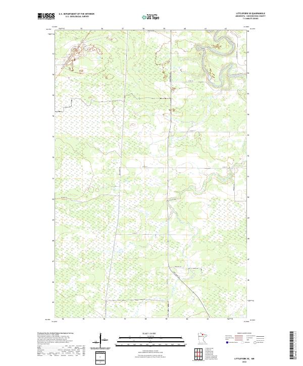
1970 Littlefork SE
Koochiching County, MN

1970 Littlefork SW
Koochiching County, MN

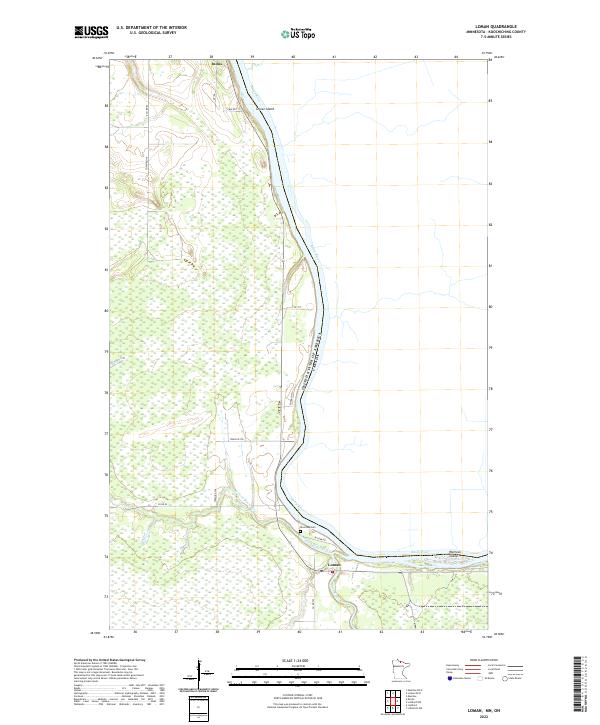
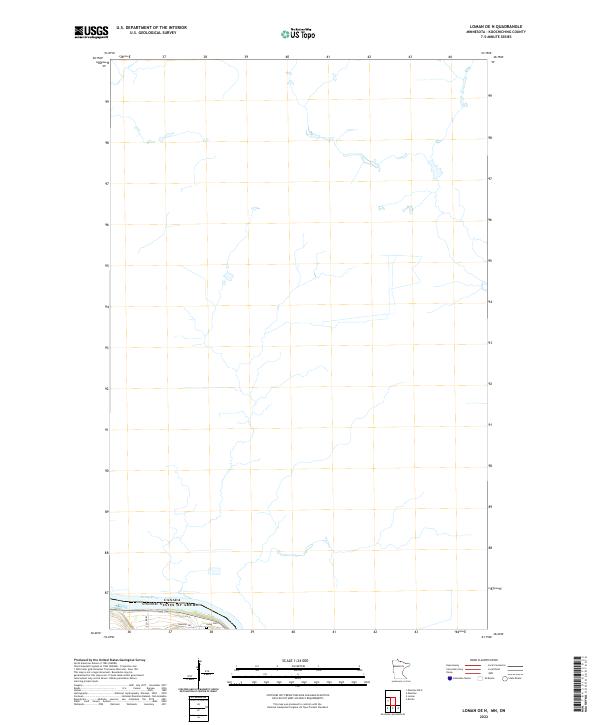
1970 Loman
Koochiching County, MN

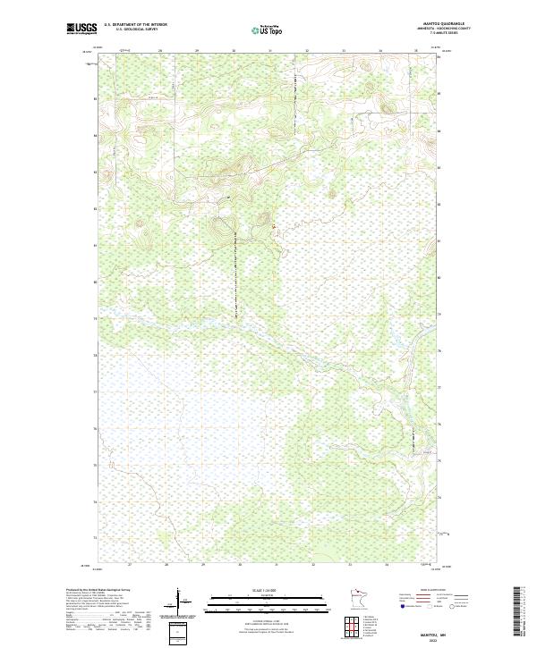
1970 Manitou
Koochiching County, MN

1970 Margie
Koochiching County, MN

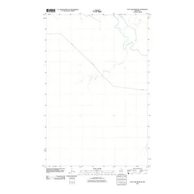
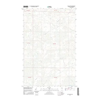
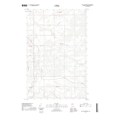
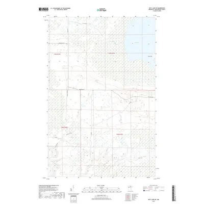
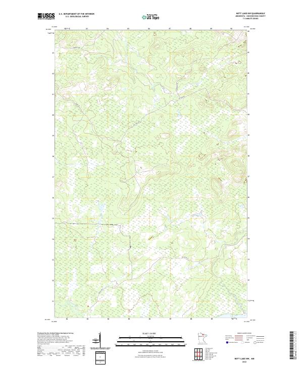
1970 Nett Lake NW
Koochiching County, MN

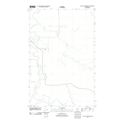
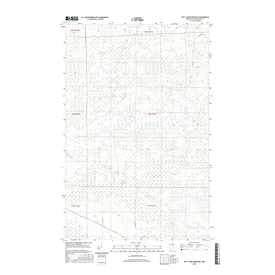
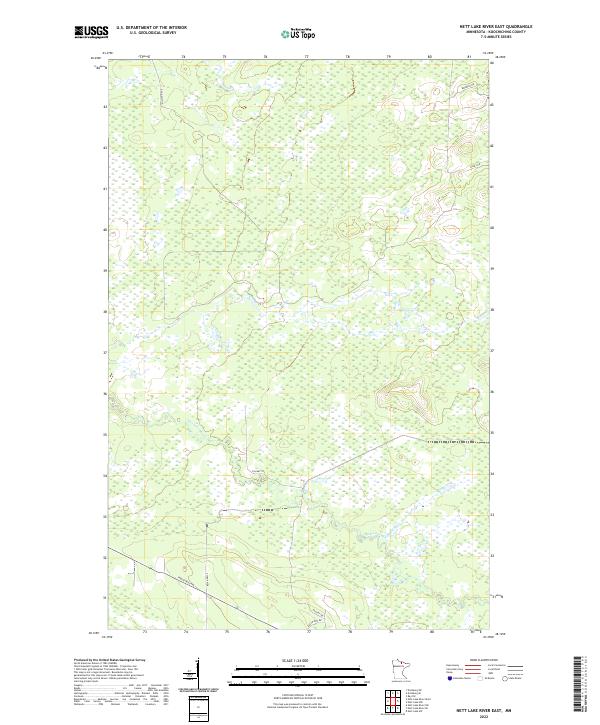
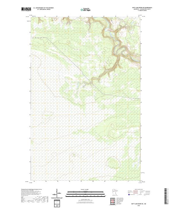
1970 Nett Lake River East
Koochiching County, MN

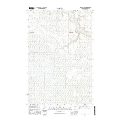
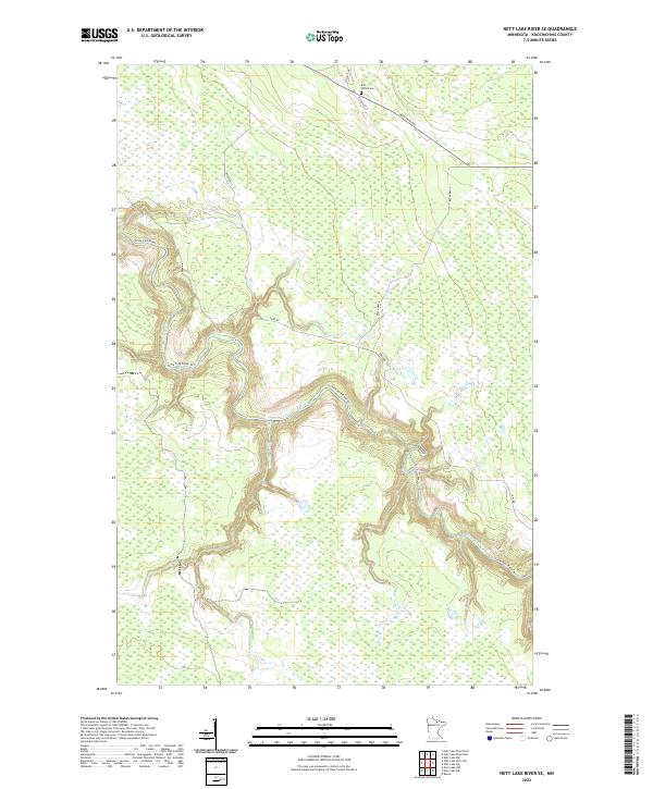
1970 Nett Lake River SE
Koochiching County, MN
1970 Nett Lake River SW
Koochiching County, MN

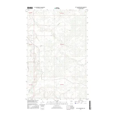
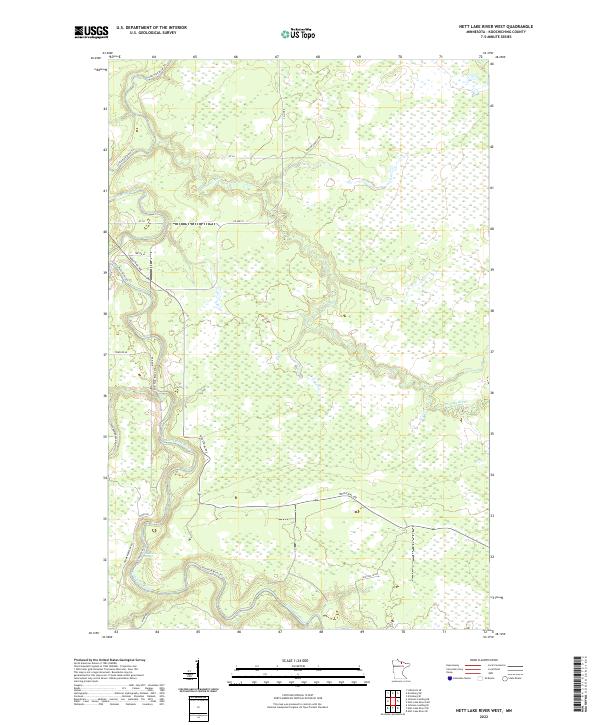
1970 Nett Lake River West
Koochiching County, MN

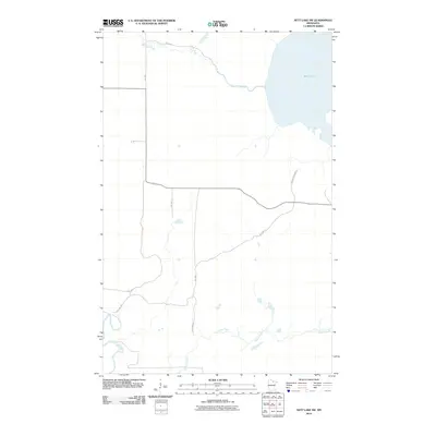
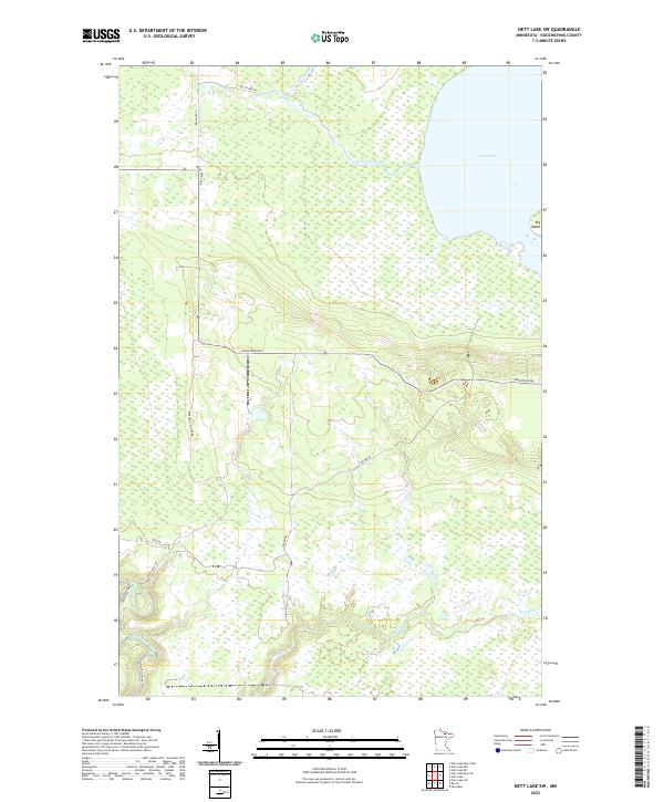
1970 Nett Lake SW
Koochiching County, MN

1970 Pelland
Koochiching County, MN

1970 Rauch
Koochiching County, MN

1971 Big Falls NW
Koochiching County, MN
1971 Craigville
Koochiching County, MN
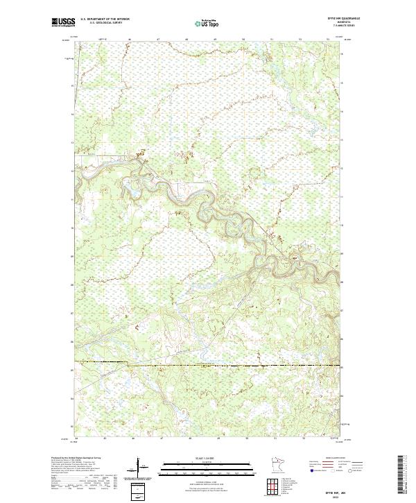
1971 Effie NW
Koochiching County, MN
1971 Johnson Landing
Koochiching County, MN
1971 Johnson Landing NW
Koochiching County, MN
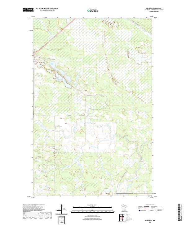
1971 Mizpah NE
Koochiching County, MN

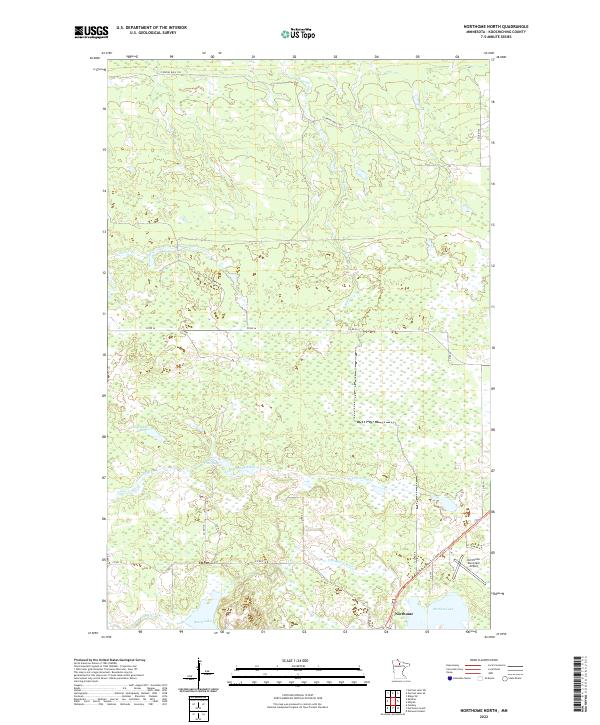
1971 Northome North
Koochiching County, MN

1971 Wildwood
Koochiching County, MN
1971 Wildwood NE
Koochiching County, MN
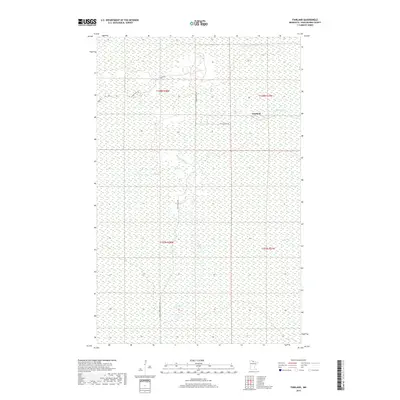
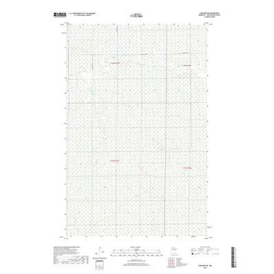
1973 Fairland
Koochiching County, MN
1973 Fairland NE
Koochiching County, MN
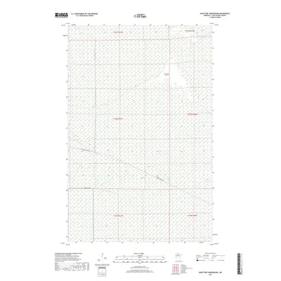
1973 Giant Pine Campground
Koochiching County, MN
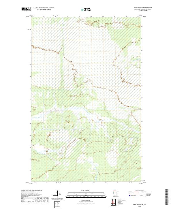
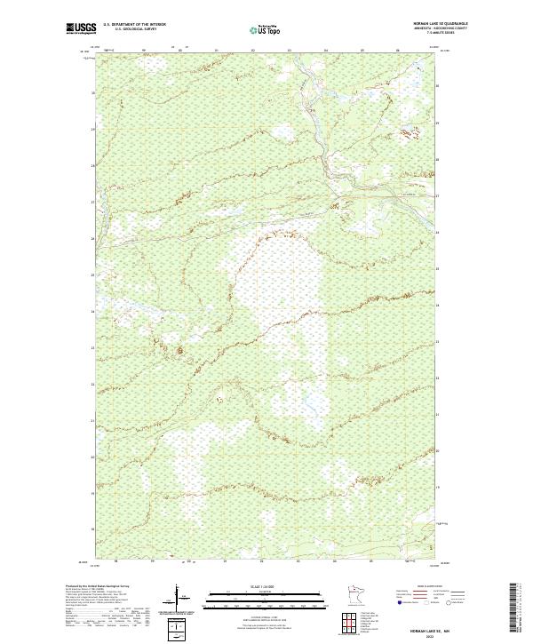
1973 Norman Lake NE
Koochiching County, MN
1973 Norman Lake SE
Koochiching County, MN
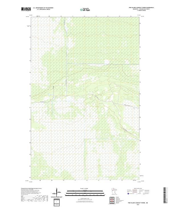
1973 Pine Island Lookout Tower
Koochiching County, MN
1973 Ridge
Koochiching County, MN

1973 Ridge NE
Koochiching County, MN
1973 Ridge NW
Koochiching County, MN
1973 Ridge SW
Koochiching County, MN
1973 Wayland
Koochiching County, MN
1973 Wayland SE
Koochiching County, MN

1977 Upper Red Lake
Koochiching County, MN

1999 Ericsburg
Koochiching County, MN

1999 Island View
Koochiching County, MN

1999 Ray
Koochiching County, MN

1999 Ray SW
Koochiching County, MN
2010 Big Falls NW
Koochiching County, MN
2010 Big Falls SE
Koochiching County, MN
2010 Birchdale SE
Koochiching County, MN
2010 Birchdale SW
Koochiching County, MN
2010 Border
Koochiching County, MN
2010 Clementson SE
Koochiching County, MN
2010 Craigville
Koochiching County, MN
2010 Deer Lake NE
Koochiching County, MN
2010 Deer Lake NW
Koochiching County, MN
2010 Effie NW
Koochiching County, MN
2010 Ericsburg
Koochiching County, MN
2010 Ericsburg NW
Koochiching County, MN
2010 Ericsburg SE
Koochiching County, MN
2010 Ericsburg SW
Koochiching County, MN
2010 Fairland
Koochiching County, MN
2010 Fairland NE
Koochiching County, MN
2010 Giant Pine Campground
Koochiching County, MN
2010 Johnson Landing
Koochiching County, MN
2010 Johnson Landing NE
Koochiching County, MN
2010 Johnson Landing NW
Koochiching County, MN
2010 Johnson Landing SE
Koochiching County, MN

2010 Lindford
Koochiching County, MN
2010 Lindford NW
Koochiching County, MN
2010 Lindford SE
Koochiching County, MN
2010 Lindford SW
Koochiching County, MN
2010 Littlefork NW
Koochiching County, MN
2010 Littlefork SE
Koochiching County, MN
2010 Littlefork SW
Koochiching County, MN
2010 Loman
Koochiching County, MN
2010 Manitou
Koochiching County, MN

2010 Margie
Koochiching County, MN
2010 Mizpah NE
Koochiching County, MN
2010 Nett Lake NW
Koochiching County, MN
2010 Nett Lake River East
Koochiching County, MN
2010 Nett Lake River SE
Koochiching County, MN
2010 Nett Lake River SW
Koochiching County, MN
2010 Nett Lake River West
Koochiching County, MN
2010 Nett Lake SW
Koochiching County, MN
2010 Norman Lake NE
Koochiching County, MN
2010 Norman Lake SE
Koochiching County, MN
2010 Northome North
Koochiching County, MN
2010 Pine Island Lookout Tower
Koochiching County, MN
2010 Rauch
Koochiching County, MN
2010 Ray
Koochiching County, MN
2010 Ray SW
Koochiching County, MN
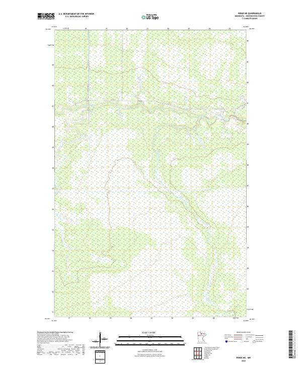
2010 Ridge
Koochiching County, MN
2010 Ridge NE
Koochiching County, MN
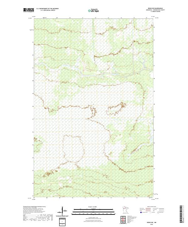
2010 Ridge NW
Koochiching County, MN
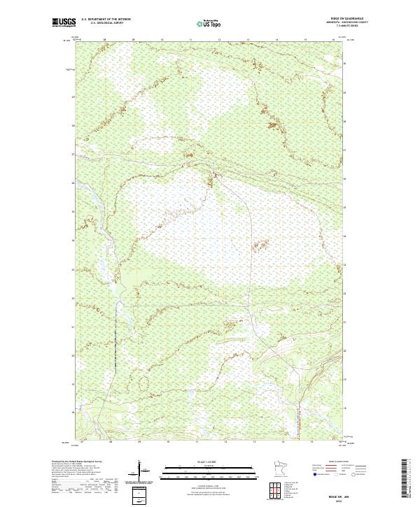
2010 Ridge SW
Koochiching County, MN
2010 Wayland
Koochiching County, MN
2010 Wayland SE
Koochiching County, MN

2010 Wildwood
Koochiching County, MN
2010 Wildwood NE
Koochiching County, MN
2011 Birchdale
Koochiching County, MN
2011 Devlin
Koochiching County, MN
2011 Island View OE N
Koochiching County, MN
2011 Loman OE N
Koochiching County, MN
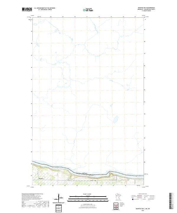
2011 Manitou OE N
Koochiching County, MN

2011 Pelland
Koochiching County, MN
2011 Ranier OE N
Koochiching County, MN
2011 Stratton
Koochiching County, MN

2012 Island View
Koochiching County, MN
2013 Big Falls NW
Koochiching County, MN
2013 Big Falls SE
Koochiching County, MN
2013 Birchdale
Koochiching County, MN
2013 Birchdale SE
Koochiching County, MN
2013 Birchdale SW
Koochiching County, MN
2013 Border
Koochiching County, MN
2013 Clementson SE
Koochiching County, MN
2013 Craigville
Koochiching County, MN
2013 Deer Lake NE
Koochiching County, MN
2013 Deer Lake NW
Koochiching County, MN

2013 Devlin
Koochiching County, MN
2013 Effie NW
Koochiching County, MN
2013 Ericsburg
Koochiching County, MN
2013 Ericsburg NW
Koochiching County, MN
2013 Ericsburg SE
Koochiching County, MN
2013 Ericsburg SW
Koochiching County, MN
2013 Fairland
Koochiching County, MN
2013 Fairland NE
Koochiching County, MN
2013 Giant Pine Campground
Koochiching County, MN

2013 Island View
Koochiching County, MN
2013 Island View OE N
Koochiching County, MN
2013 Johnson Landing
Koochiching County, MN
2013 Johnson Landing NE
Koochiching County, MN
2013 Johnson Landing NW
Koochiching County, MN
2013 Johnson Landing SE
Koochiching County, MN

2013 Lindford
Koochiching County, MN
2013 Lindford NW
Koochiching County, MN
2013 Lindford SE
Koochiching County, MN
2013 Lindford SW
Koochiching County, MN
2013 Littlefork NW
Koochiching County, MN
2013 Littlefork SE
Koochiching County, MN
2013 Littlefork SW
Koochiching County, MN
2013 Loman
Koochiching County, MN
2013 Loman OE N
Koochiching County, MN
2013 Manitou
Koochiching County, MN
2013 Manitou OE N
Koochiching County, MN
2013 Margie
Koochiching County, MN
2013 Mizpah NE
Koochiching County, MN
2013 Nett Lake NW
Koochiching County, MN
2013 Nett Lake River East
Koochiching County, MN
2013 Nett Lake River SE
Koochiching County, MN
2013 Nett Lake River SW
Koochiching County, MN
2013 Nett Lake River West
Koochiching County, MN
2013 Nett Lake SW
Koochiching County, MN
2013 Norman Lake NE
Koochiching County, MN
2013 Norman Lake SE
Koochiching County, MN
2013 Northome North
Koochiching County, MN

2013 Pelland
Koochiching County, MN

2013 Pine Island Lookout Tower
Koochiching County, MN
2013 Ranier OE N
Koochiching County, MN
2013 Rauch
Koochiching County, MN
2013 Ray
Koochiching County, MN
2013 Ray SW
Koochiching County, MN
2013 Ridge
Koochiching County, MN
2013 Ridge NE
Koochiching County, MN
2013 Ridge NW
Koochiching County, MN
2013 Ridge SW
Koochiching County, MN
2013 Stratton
Koochiching County, MN
2013 Wayland
Koochiching County, MN
2013 Wayland SE
Koochiching County, MN

2013 Wildwood
Koochiching County, MN
2013 Wildwood NE
Koochiching County, MN
2016 Big Falls NW
Koochiching County, MN
2016 Big Falls SE
Koochiching County, MN
2016 Birchdale
Koochiching County, MN
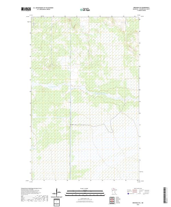
2016 Birchdale SE
Koochiching County, MN
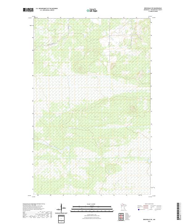
2016 Birchdale SW
Koochiching County, MN
2016 Border
Koochiching County, MN
2016 Clementson SE
Koochiching County, MN
2016 Craigville
Koochiching County, MN
2016 Deer Lake NE
Koochiching County, MN
2016 Deer Lake NW
Koochiching County, MN
2016 Devlin
Koochiching County, MN
2016 Effie NW
Koochiching County, MN
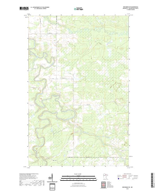
2016 Ericsburg
Koochiching County, MN
2016 Ericsburg NW
Koochiching County, MN
2016 Ericsburg SE
Koochiching County, MN
2016 Ericsburg SW
Koochiching County, MN
2016 Fairland
Koochiching County, MN
2016 Fairland NE
Koochiching County, MN
2016 Giant Pine Campground
Koochiching County, MN

2016 Island View
Koochiching County, MN
2016 Island View OE N
Koochiching County, MN
2016 Johnson Landing
Koochiching County, MN
2016 Johnson Landing NE
Koochiching County, MN
2016 Johnson Landing NW
Koochiching County, MN
2016 Johnson Landing SE
Koochiching County, MN

2016 Lindford
Koochiching County, MN
2016 Lindford NW
Koochiching County, MN
2016 Lindford SE
Koochiching County, MN
2016 Lindford SW
Koochiching County, MN
2016 Littlefork NW
Koochiching County, MN
2016 Littlefork SE
Koochiching County, MN
2016 Littlefork SW
Koochiching County, MN
2016 Loman
Koochiching County, MN
2016 Loman OE N
Koochiching County, MN
2016 Manitou
Koochiching County, MN
2016 Manitou OE N
Koochiching County, MN
2016 Margie
Koochiching County, MN
2016 Mizpah NE
Koochiching County, MN
2016 Nett Lake NW
Koochiching County, MN
2016 Nett Lake River East
Koochiching County, MN

2016 Nett Lake River SE
Koochiching County, MN
2016 Nett Lake River SW
Koochiching County, MN
2016 Nett Lake River West
Koochiching County, MN
2016 Nett Lake SW
Koochiching County, MN
2016 Norman Lake NE
Koochiching County, MN
2016 Norman Lake SE
Koochiching County, MN
2016 Northome North
Koochiching County, MN

2016 Pelland
Koochiching County, MN
2016 Pine Island Lookout Tower
Koochiching County, MN
2016 Ranier OE N
Koochiching County, MN
2016 Rauch
Koochiching County, MN
2016 Ray
Koochiching County, MN
2016 Ray SW
Koochiching County, MN
2016 Ridge
Koochiching County, MN
2016 Ridge NE
Koochiching County, MN
2016 Ridge NW
Koochiching County, MN
2016 Ridge SW
Koochiching County, MN
2016 Stratton
Koochiching County, MN
2016 Wayland
Koochiching County, MN
2016 Wayland SE
Koochiching County, MN

2016 Wildwood
Koochiching County, MN
2016 Wildwood NE
Koochiching County, MN
2019 Big Falls NW
Koochiching County, MN
2019 Big Falls SE
Koochiching County, MN
2019 Birchdale
Koochiching County, MN
2019 Birchdale SE
Koochiching County, MN
2019 Birchdale SW
Koochiching County, MN
2019 Border
Koochiching County, MN
2019 Clementson SE
Koochiching County, MN
2019 Craigville
Koochiching County, MN
2019 Deer Lake NE
Koochiching County, MN
2019 Deer Lake NW
Koochiching County, MN
2019 Devlin
Koochiching County, MN
2019 Effie NW
Koochiching County, MN
2019 Ericsburg
Koochiching County, MN
2019 Ericsburg NW
Koochiching County, MN
2019 Ericsburg SE
Koochiching County, MN
2019 Ericsburg SW
Koochiching County, MN
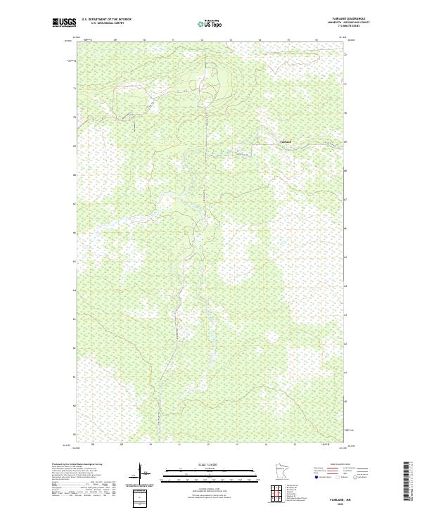
2019 Fairland
Koochiching County, MN
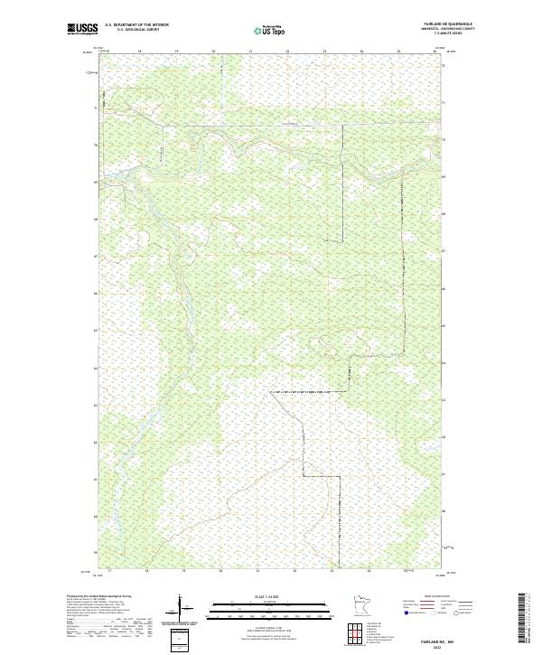
2019 Fairland NE
Koochiching County, MN
2019 Giant Pine Campground
Koochiching County, MN

2019 Island View
Koochiching County, MN
2019 Island View OE N
Koochiching County, MN
2019 Johnson Landing
Koochiching County, MN
2019 Johnson Landing NE
Koochiching County, MN
2019 Johnson Landing NW
Koochiching County, MN
2019 Johnson Landing SE
Koochiching County, MN

2019 Lindford
Koochiching County, MN
2019 Lindford NW
Koochiching County, MN
2019 Lindford SE
Koochiching County, MN
2019 Lindford SW
Koochiching County, MN

2019 Littlefork NW
Koochiching County, MN
2019 Littlefork SE
Koochiching County, MN
2019 Littlefork SW
Koochiching County, MN
2019 Loman
Koochiching County, MN
2019 Loman OE N
Koochiching County, MN
2019 Manitou
Koochiching County, MN
2019 Manitou OE N
Koochiching County, MN
2019 Margie
Koochiching County, MN
2019 Mizpah NE
Koochiching County, MN
2019 Nett Lake NW
Koochiching County, MN
2019 Nett Lake River East
Koochiching County, MN
2019 Nett Lake River SE
Koochiching County, MN
2019 Nett Lake River SW
Koochiching County, MN
2019 Nett Lake River West
Koochiching County, MN
2019 Nett Lake SW
Koochiching County, MN
2019 Norman Lake NE
Koochiching County, MN
2019 Norman Lake SE
Koochiching County, MN
2019 Northome North
Koochiching County, MN

2019 Pelland
Koochiching County, MN
2019 Pine Island Lookout Tower
Koochiching County, MN
2019 Ranier OE N
Koochiching County, MN
2019 Rauch
Koochiching County, MN
2019 Ray
Koochiching County, MN
2019 Ray SW
Koochiching County, MN
2019 Ridge
Koochiching County, MN
2019 Ridge NE
Koochiching County, MN
2019 Ridge NW
Koochiching County, MN
2019 Ridge SW
Koochiching County, MN
2019 Stratton
Koochiching County, MN
2019 Wayland
Koochiching County, MN
2019 Wayland SE
Koochiching County, MN

2019 Wildwood
Koochiching County, MN
2019 Wildwood NE
Koochiching County, MN
2022 Big Falls NW
Koochiching County, MN
2022 Big Falls SE
Koochiching County, MN
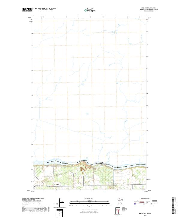
2022 Birchdale
Koochiching County, MN
2022 Birchdale SE
Koochiching County, MN
2022 Birchdale SW
Koochiching County, MN
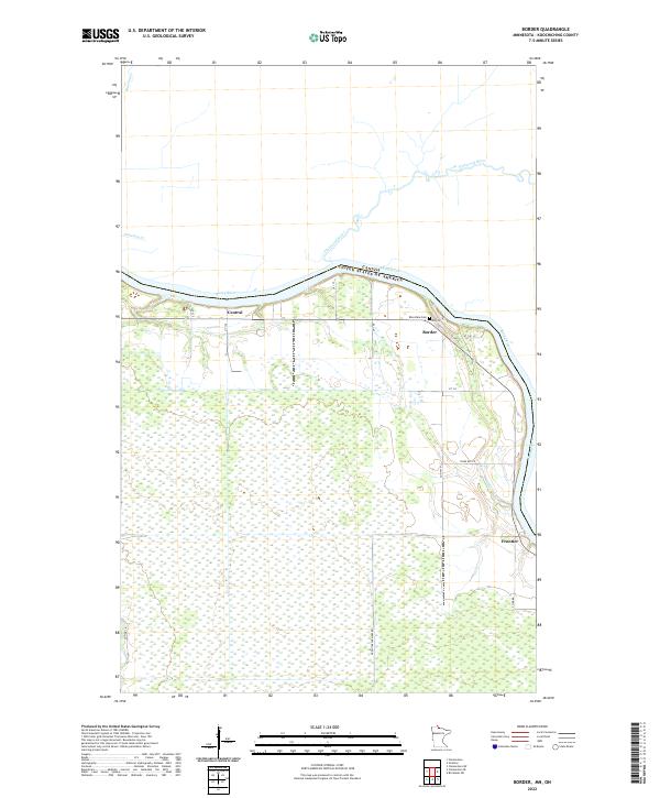
2022 Border
Koochiching County, MN
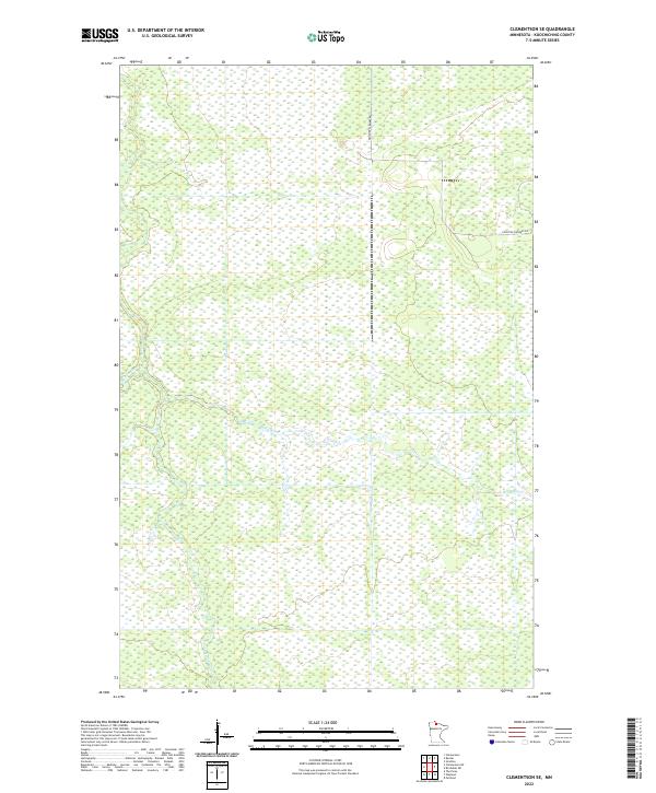
2022 Clementson SE
Koochiching County, MN
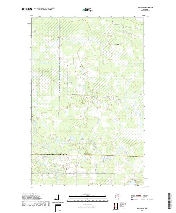
2022 Craigville
Koochiching County, MN
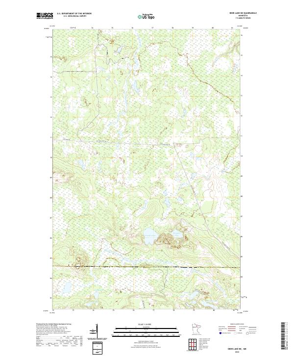
2022 Deer Lake NE
Koochiching County, MN
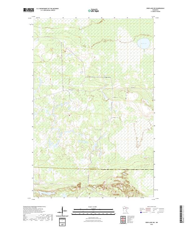
2022 Deer Lake NW
Koochiching County, MN
2022 Devlin
Koochiching County, MN
2022 Effie NW
Koochiching County, MN
2022 Ericsburg
Koochiching County, MN
2022 Ericsburg NW
Koochiching County, MN
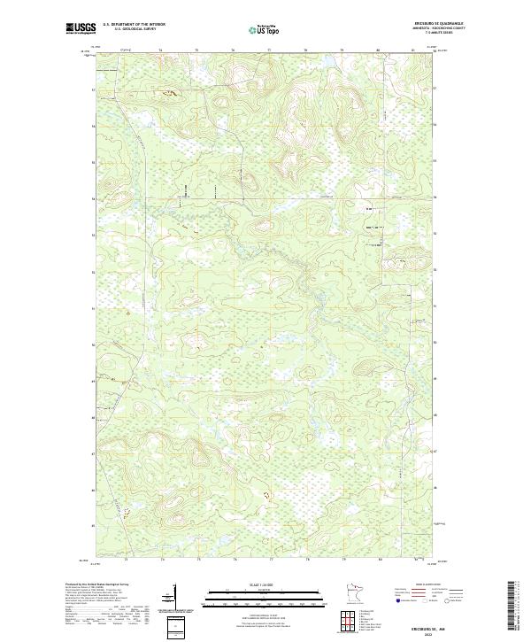
2022 Ericsburg SE
Koochiching County, MN
2022 Ericsburg SW
Koochiching County, MN
2022 Fairland
Koochiching County, MN
2022 Fairland NE
Koochiching County, MN
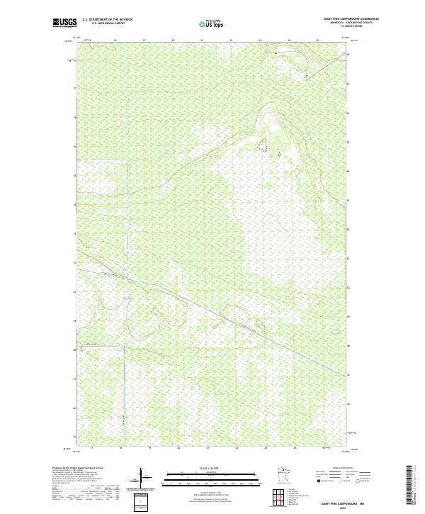
2022 Giant Pine Campground
Koochiching County, MN

2022 Island View
Koochiching County, MN

2022 Island View OE N
Koochiching County, MN
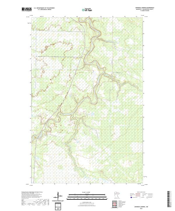
2022 Johnson Landing
Koochiching County, MN
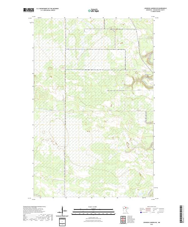
2022 Johnson Landing NE
Koochiching County, MN
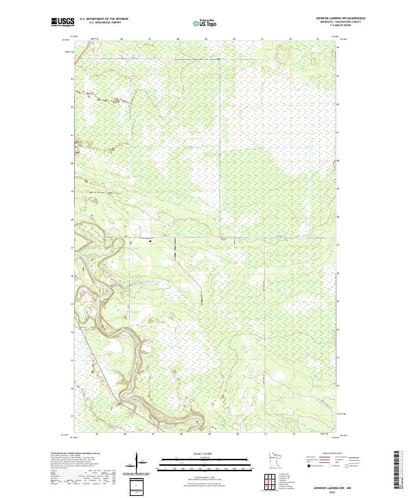
2022 Johnson Landing NW
Koochiching County, MN
2022 Johnson Landing SE
Koochiching County, MN

2022 Lindford
Koochiching County, MN
2022 Lindford NW
Koochiching County, MN
2022 Lindford SE
Koochiching County, MN
2022 Lindford SW
Koochiching County, MN
2022 Littlefork NW
Koochiching County, MN
2022 Littlefork SE
Koochiching County, MN
2022 Littlefork SW
Koochiching County, MN
2022 Loman
Koochiching County, MN
2022 Loman OE N
Koochiching County, MN
2022 Manitou
Koochiching County, MN
2022 Manitou OE N
Koochiching County, MN
2022 Margie
Koochiching County, MN
2022 Mizpah NE
Koochiching County, MN
2022 Nett Lake NW
Koochiching County, MN
2022 Nett Lake River East
Koochiching County, MN
2022 Nett Lake River SE
Koochiching County, MN
2022 Nett Lake River SW
Koochiching County, MN
2022 Nett Lake River West
Koochiching County, MN
2022 Nett Lake SW
Koochiching County, MN
2022 Norman Lake NE
Koochiching County, MN
2022 Norman Lake SE
Koochiching County, MN
2022 Northome North
Koochiching County, MN

2022 Pelland
Koochiching County, MN
2022 Pine Island Lookout Tower
Koochiching County, MN
2022 Ranier OE N
Koochiching County, MN
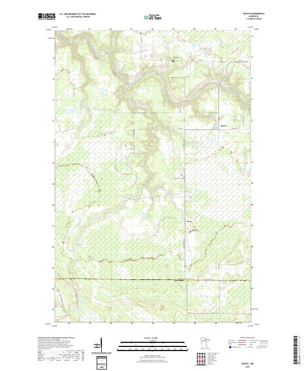
2022 Rauch
Koochiching County, MN
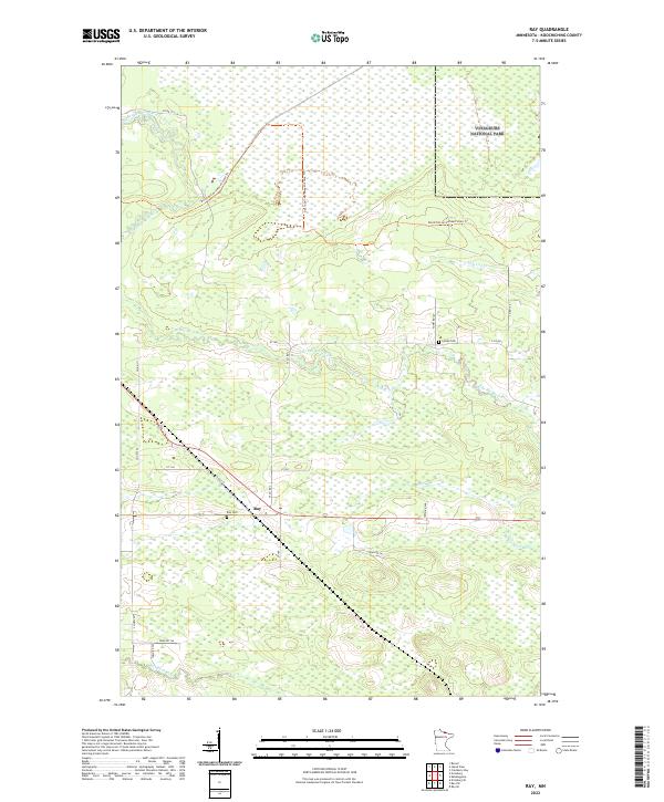
2022 Ray
Koochiching County, MN
2022 Ray SW
Koochiching County, MN
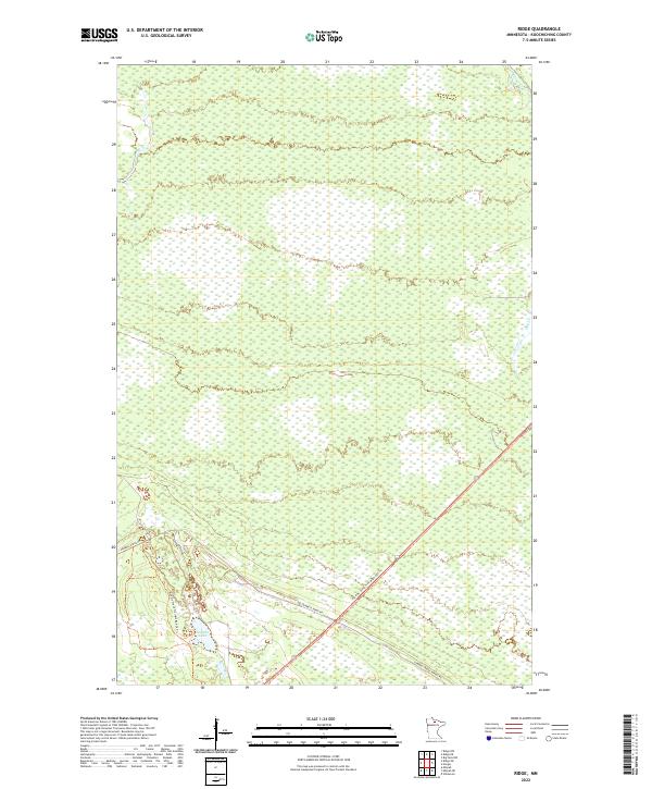
2022 Ridge
Koochiching County, MN
2022 Ridge NE
Koochiching County, MN
2022 Ridge NW
Koochiching County, MN
2022 Ridge SW
Koochiching County, MN
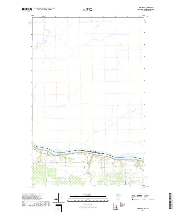
2022 Stratton
Koochiching County, MN
2022 Wayland
Koochiching County, MN
2022 Wayland SE
Koochiching County, MN

2022 Wildwood
Koochiching County, MN
2022 Wildwood NE
Koochiching County, MN